At 12am on 17th June Dad, Mam and I said goodbye to our house and comfy beds, got into the car and set off up the country, all anxious and excited for what was to come. Little did we know then that in just 24 hours we would manage to:
Walk for 14 hours and 44 minutes
Cover a distance of 44.5km
Climb 3,336 meters,
Take 69,931 steps,
And Drive 1,422km by car.
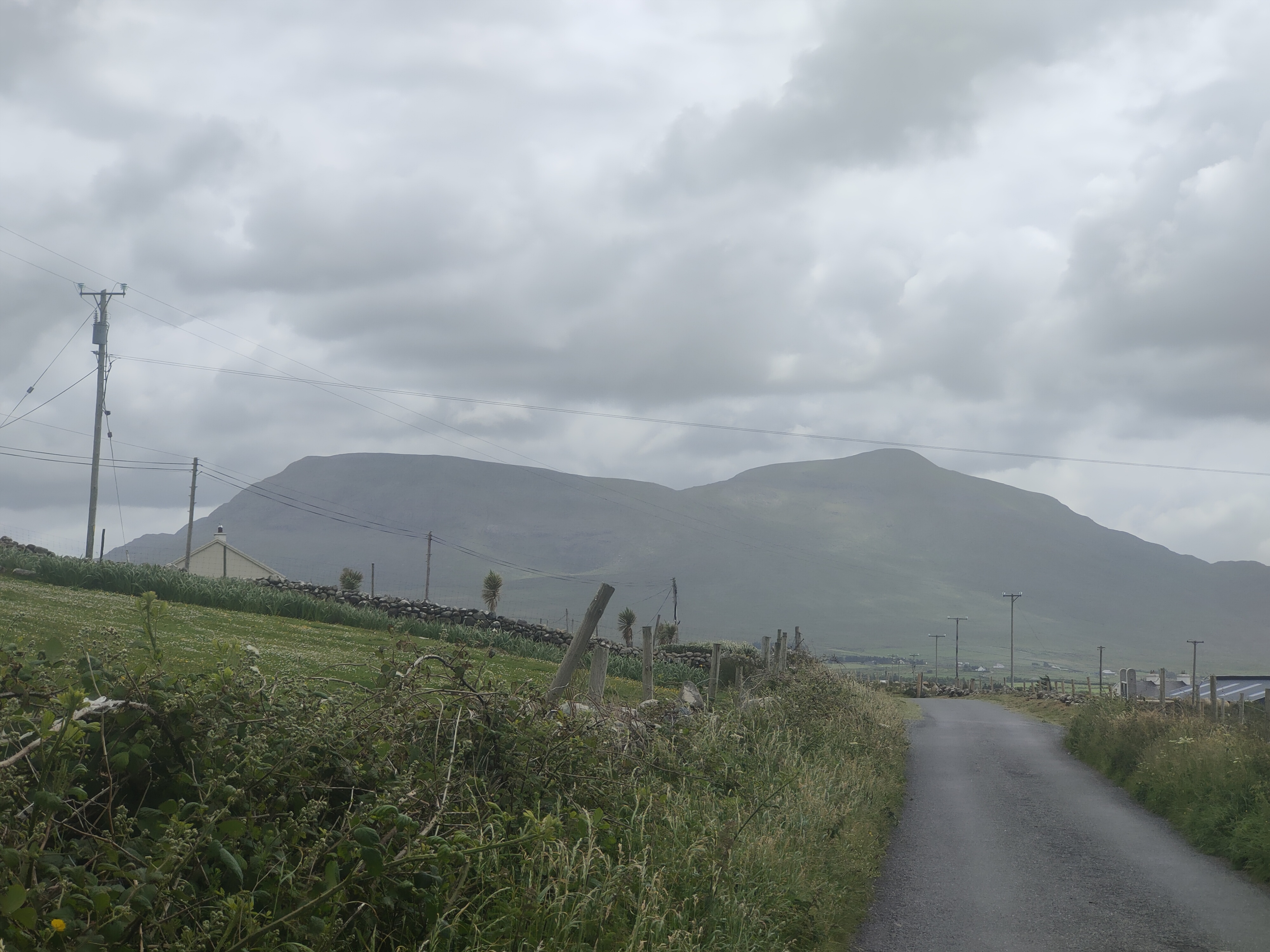
You see the following day (18th) Dad and I would be attempting to reach the highest point of each of Ireland’s 4 Provinces within 24hrs. First up would be Slieve Donard in Co. Down, the highest point of Ulster. After that we would be heading down to Wicklow in Leinster for Lugnaquillia. From there we would travel across the country into Connaught, paying a visit to Mweelrea in Mayo. And last but not least would of course be Carrauntoohil, which, standing tall in Kerry at 1,038m is not only the highest point of Muster, but is also the Highest mountain in Ireland.
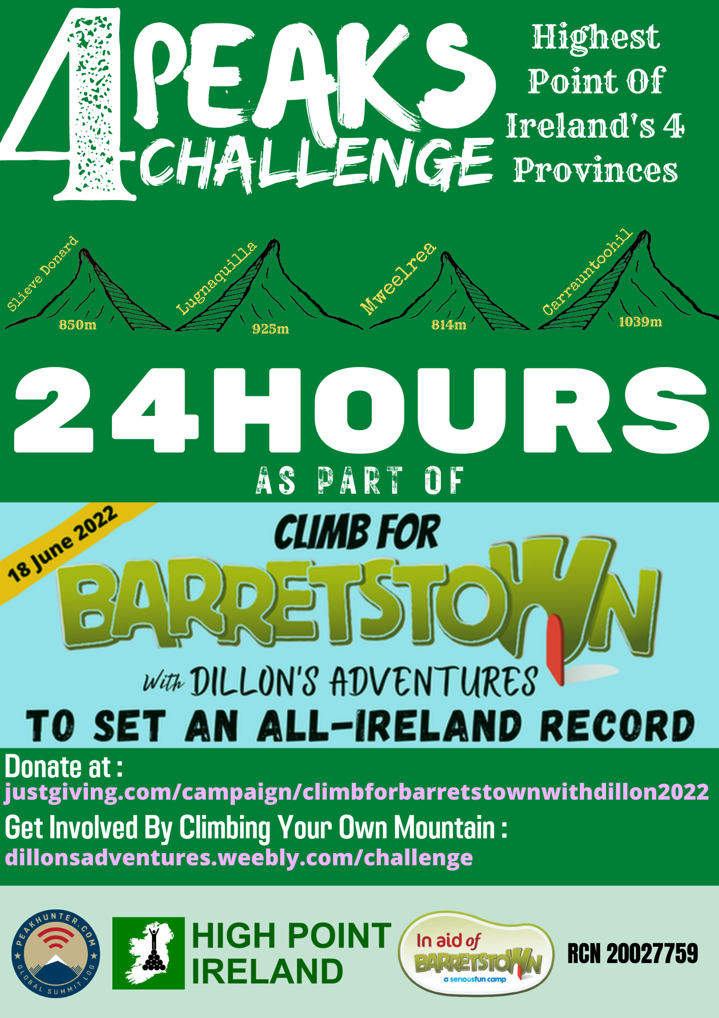
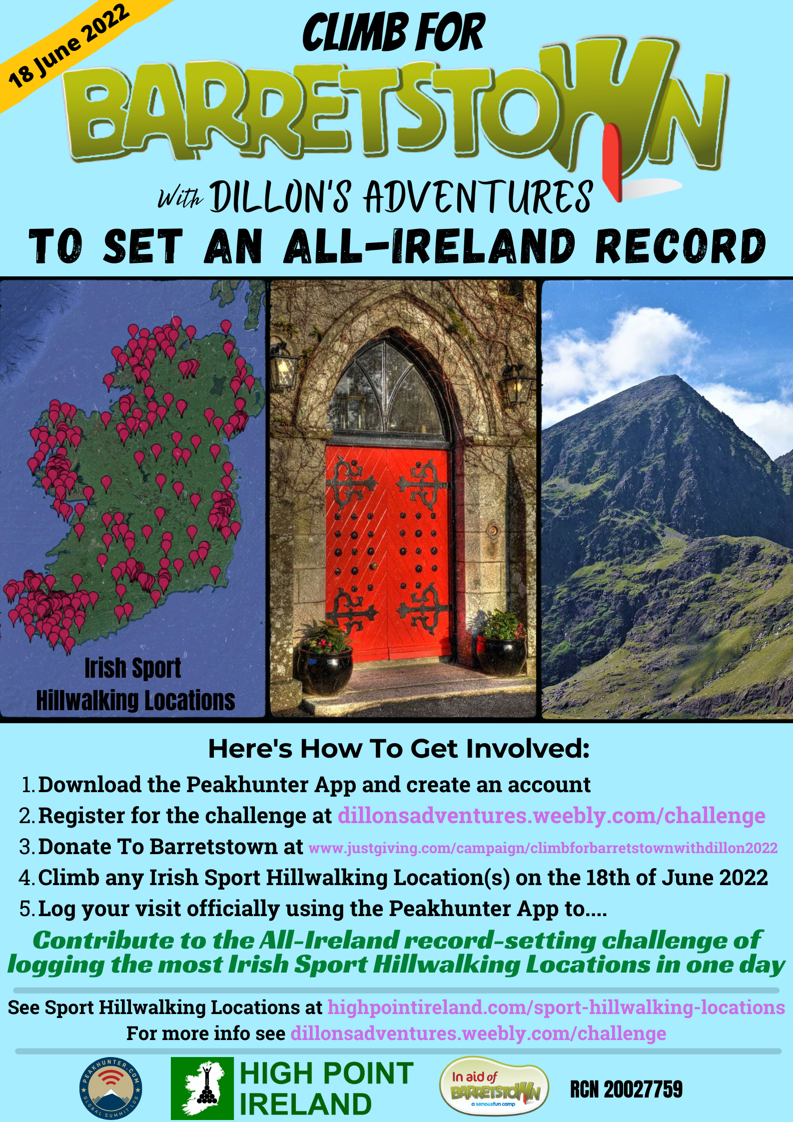
This was all part of a fundraiser called “Climb For Barretstown With Dillon’s Adventures”, which gave participants the unique chance to get involved in the All-Ireland record-setting challenge of “logging the most Irish Sport Hillwalking Locations in one day” by Climbing For Barretstown with Dillon’s Adventures on the 18th of June 2022.
It would be impossible for Dad to stay awake for 24hrs straight, climb 4 mountains, and drive us all around the country so we dropped off Mam at a hotel in Kildare with the plan to meet her there again on the morning of the 18th after Lugnaquillia and she would take over driving duties for the rest of the day so Dad could get some sleep.
We had dinner with Mam in Kildare before continuing driving up the country and as we had a bit of spare time we logged Slieve Gullion and Slieve Foye on the way breaking up the journey, but also to get a few extra points for The All-Ireland Hillwalking Championships Round 2 while we were in the area.
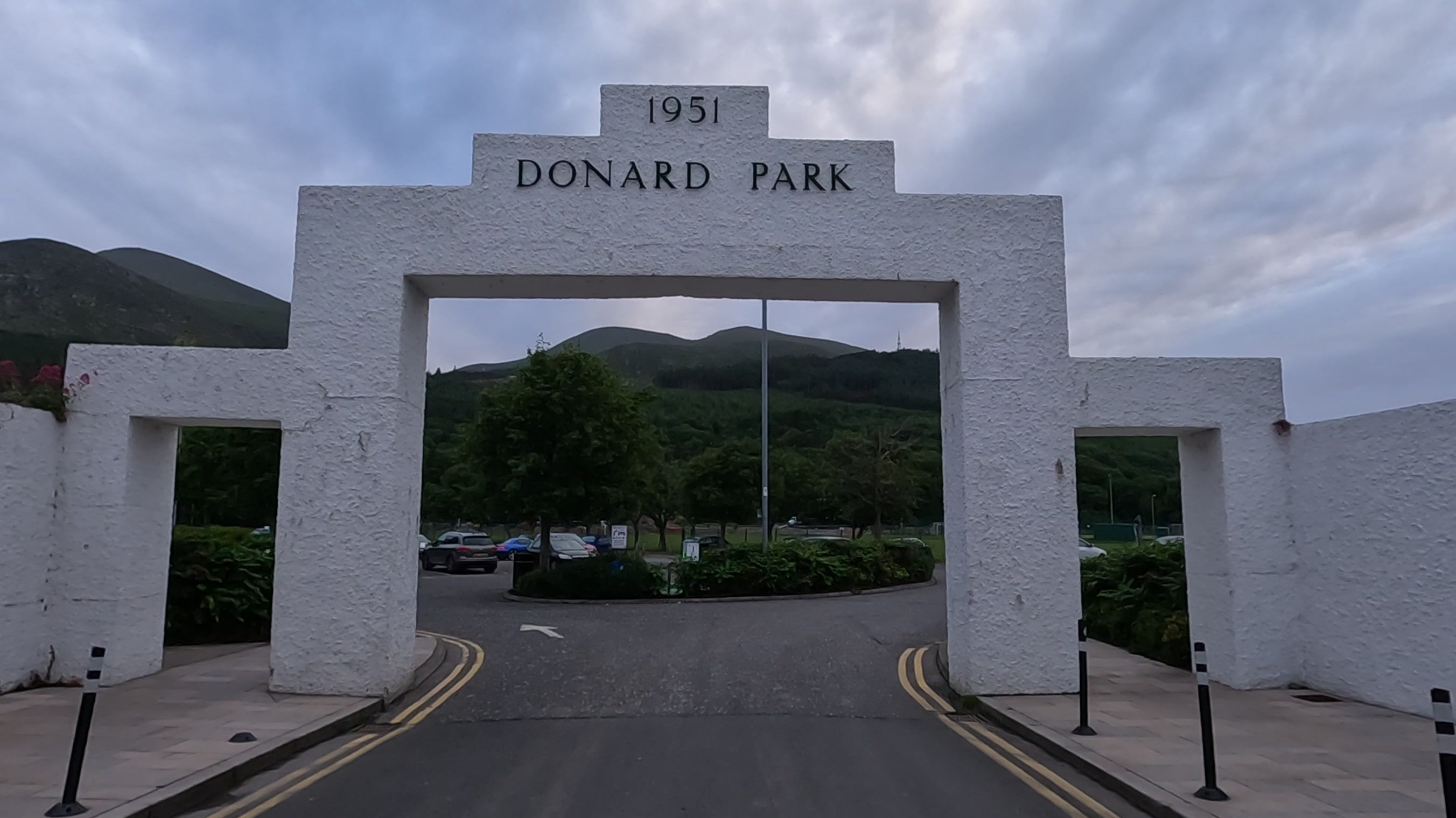
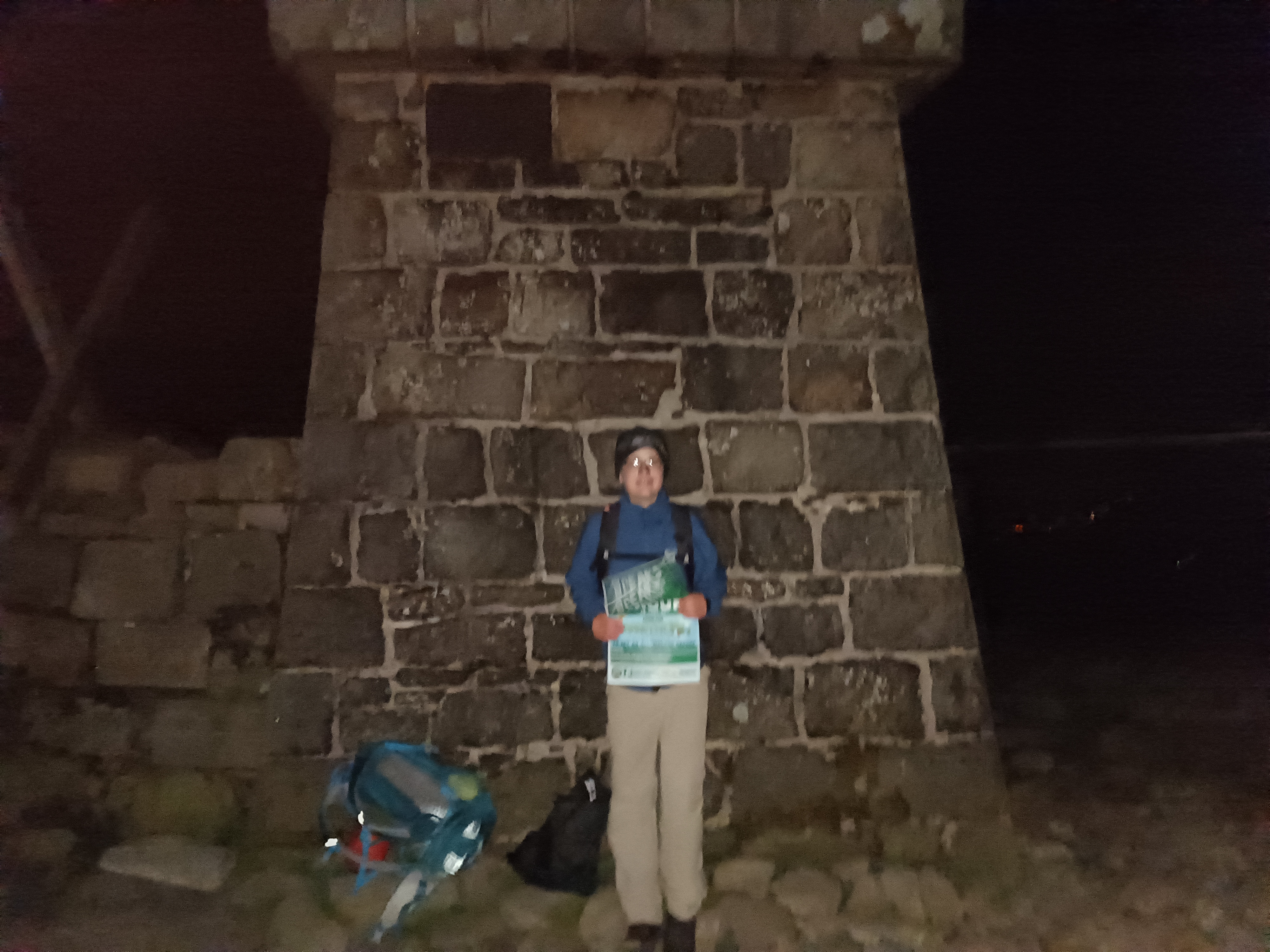
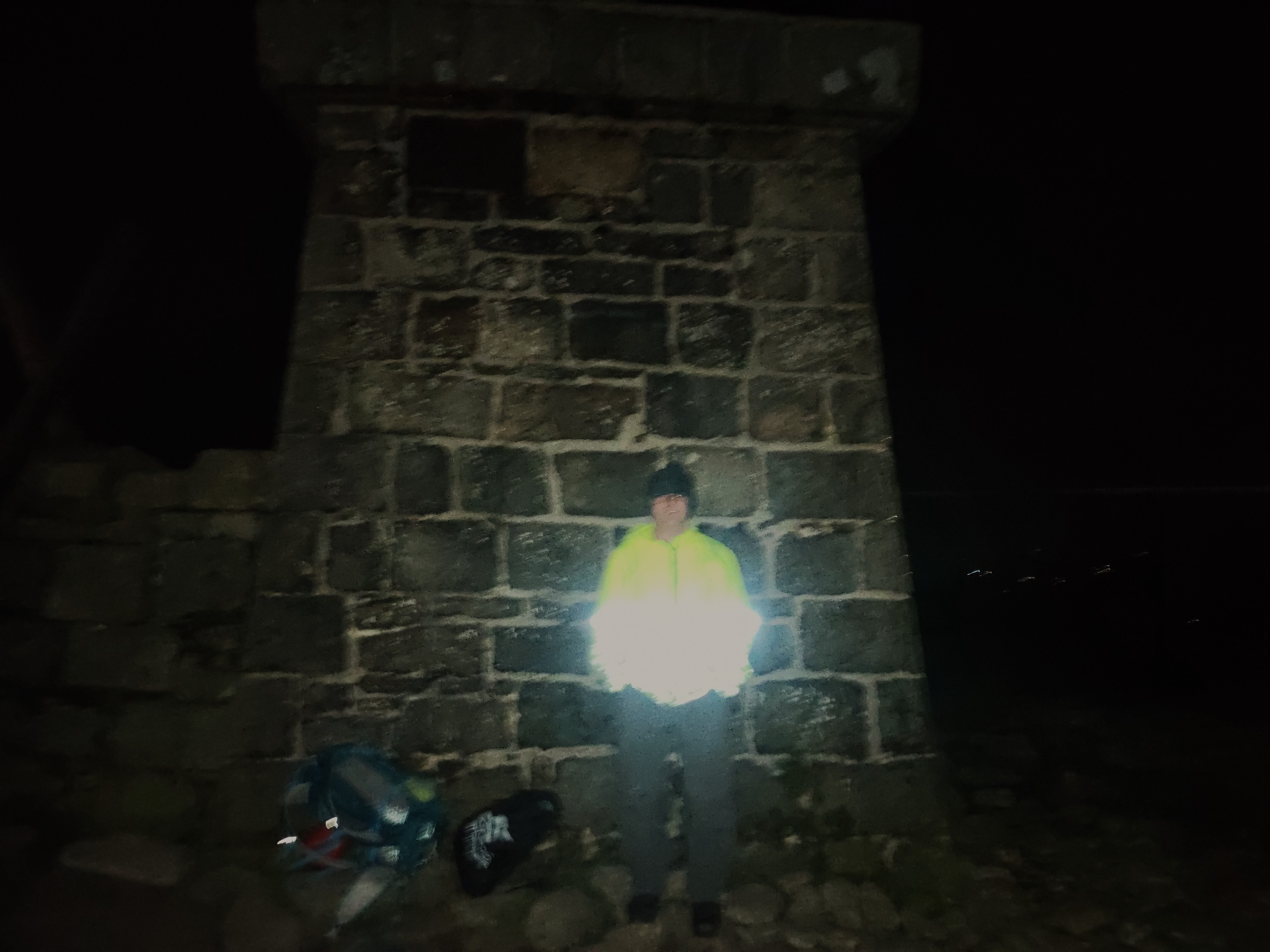
We arrived at Donard Park around 10pm, so we got our bags ready and Dad got 10 minutes kip before we set off walking at around 10:30pm through Donard Wood up the Glen River Track, which had been restored brilliantly with local stone since we were last there in 2016. It certainly made the serene walk by the river a lot easier. Before long we reached the 1.5 meter high Mourne Wall, which was constructed between 1904 and 1922 to surround the catchment area of the Silent Valley Reservoir which provides water for County Down, surrounding Counties & most of Belfast.
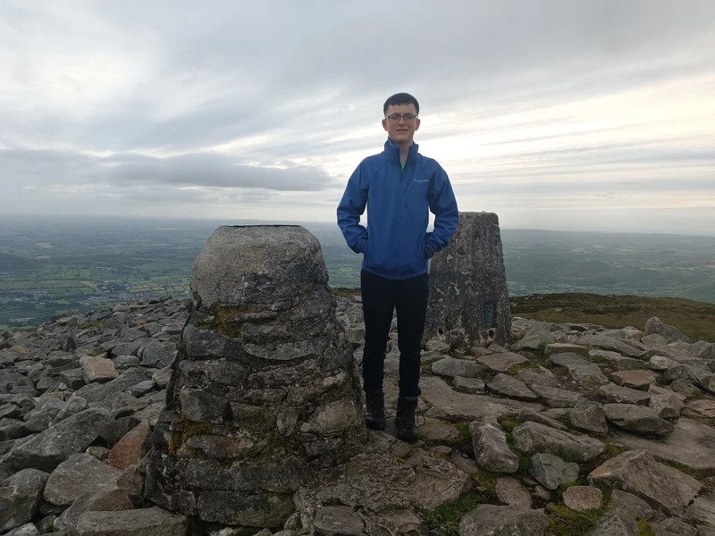
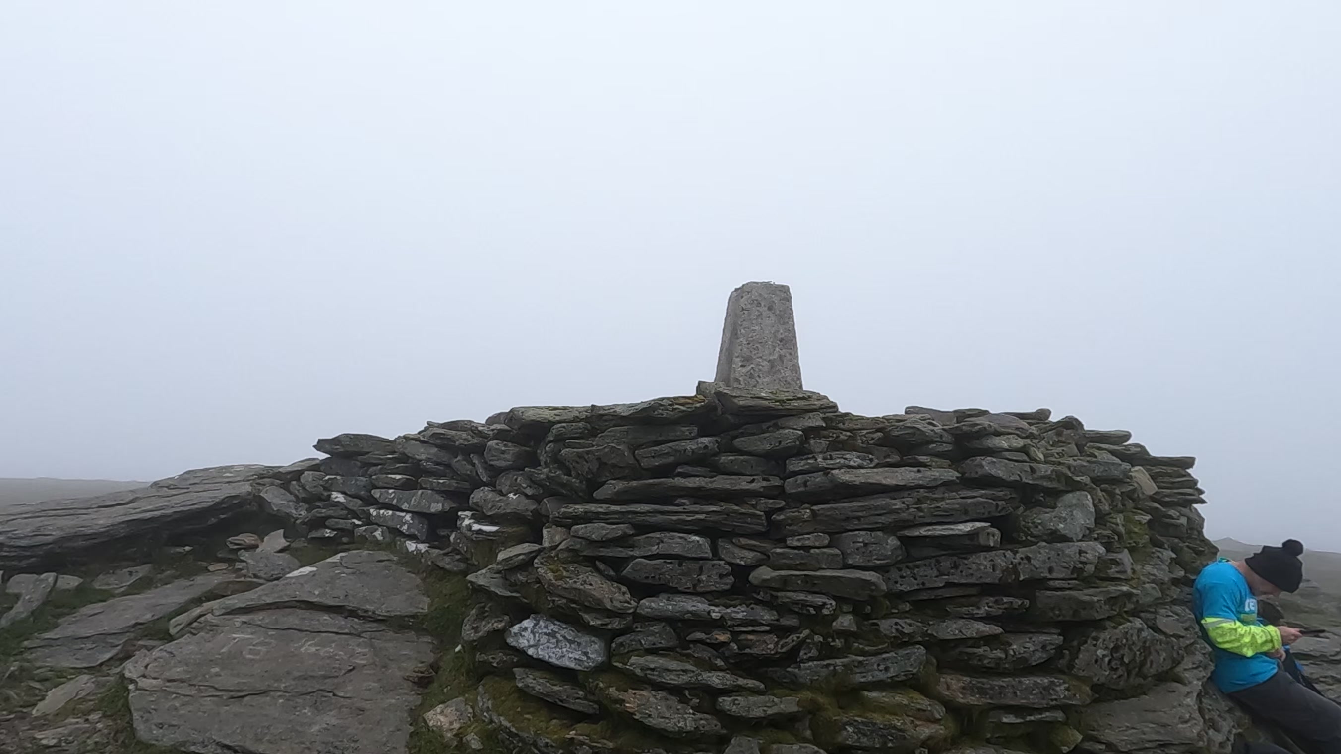
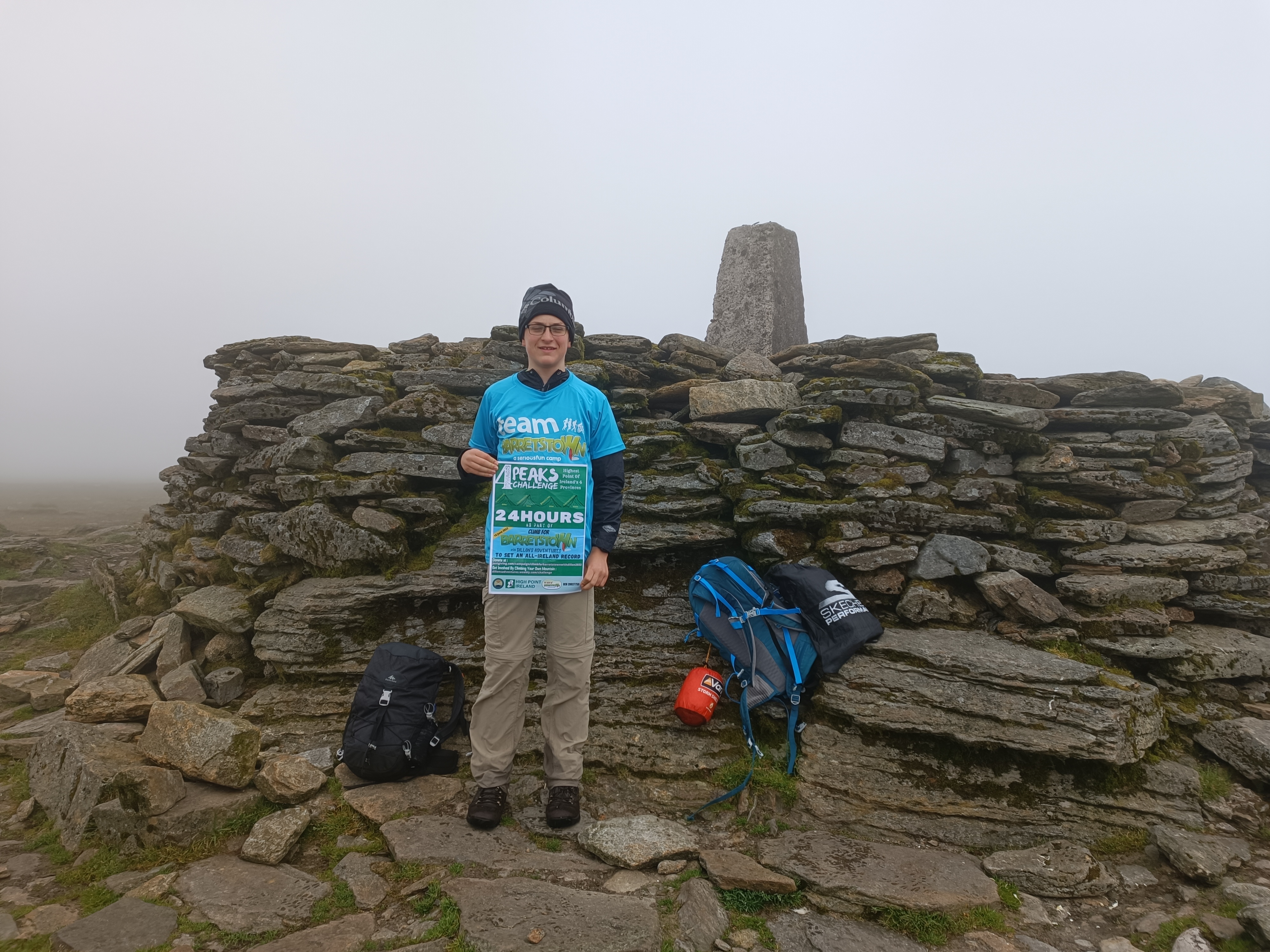
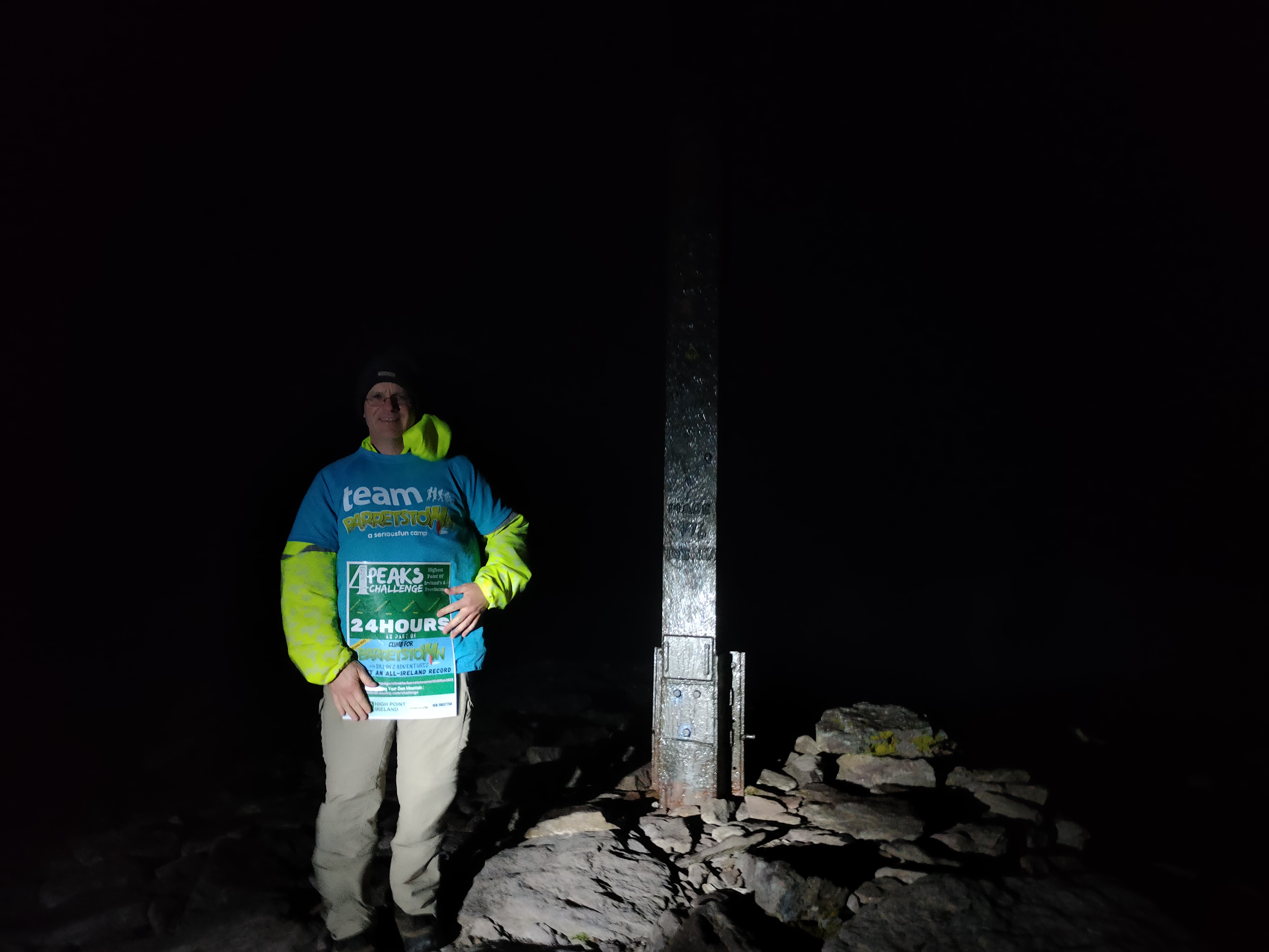
We followed the wall to the summit of Slieve Donard, arriving at about 00:05 amidst what felt like gale-force winds. Luckily the Mourne Wall provided us with some shelter as we would have to wait until 01:00 to officially “log” or record our visit using Peakhunter, an app that allows users to prove they have visited a mountain using GPS. We had to wait until 1:00 to “log” due to some technical issues on Peakhunter’s side to do with daylight saving times. In the meantime we made a video to post on social media inside the stone tower on the corner of the Mourne Wall, fittingly, directly under the trig pillar that sits on the roof of the shelter.
Once 01:00 came around though we quickly logged on Peakhunter and verified all was ok with the challenge on the app and we were off back down the way we came with lights in hand. We descended quickly and soon enough escaped the howling winds and returned back down to the serenity of the Glen River.
We were back at the car soon after two and within minutes were on the move again (this time in the car of course) heading for Fenton’s Pub, Glen of Imaal our start point for Lugnaquillia. It was over 200km away, just short of three hours driving.
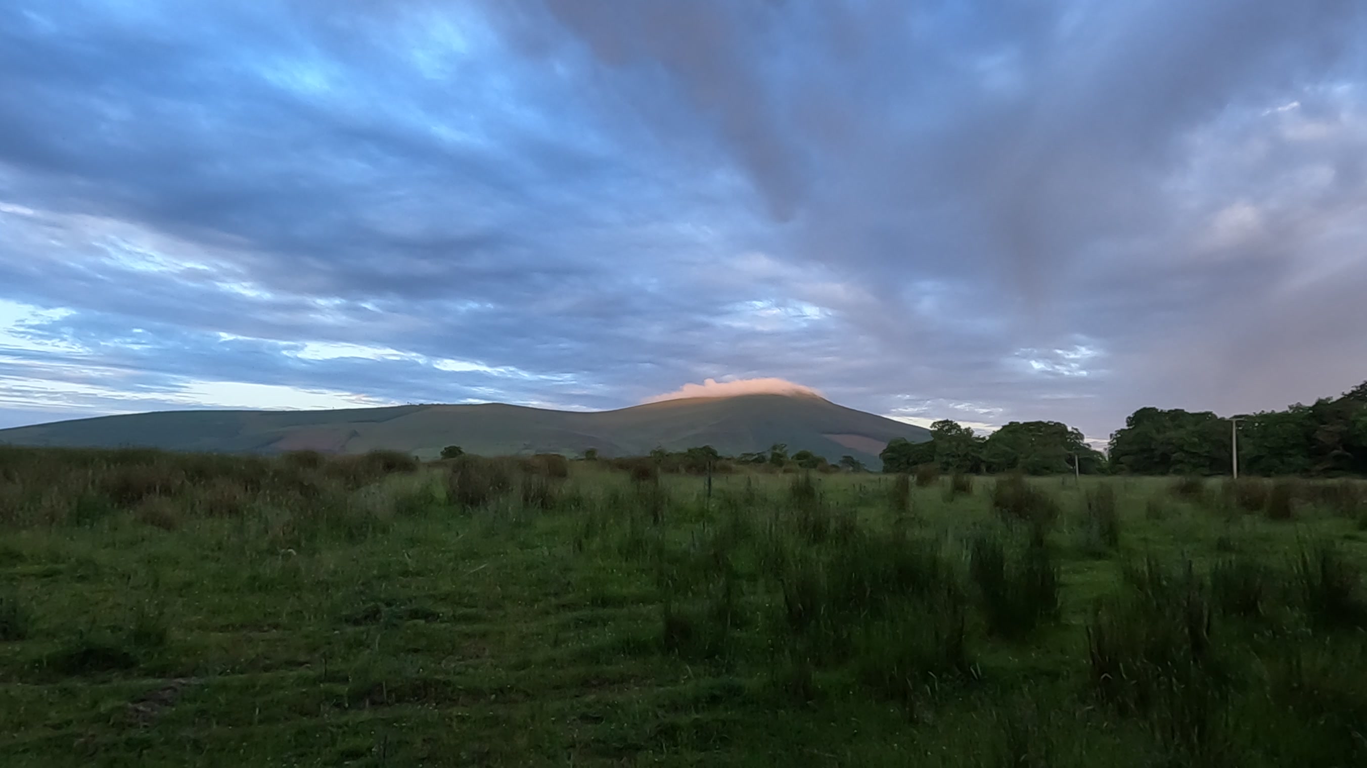
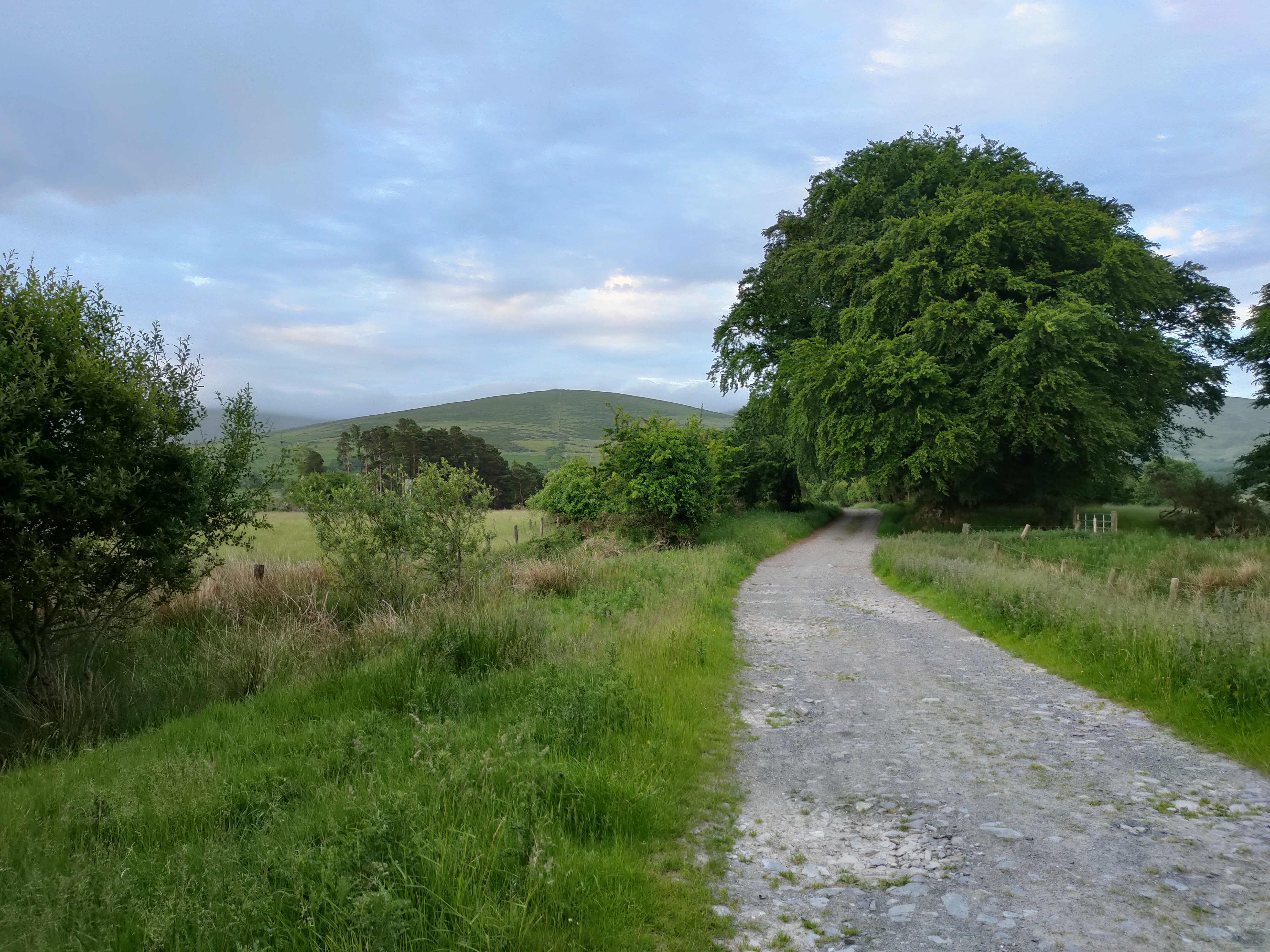
While Dad was at the wheel, I slept for most of the drive and woke up just in time to force down a bowl of cereal and get changed into my walking gear. We parked behind Fenton’s Pub and headed along a military access road, up Camara Hill being mindful not to veer off any one side of the track into the military firing range that flanks it. It was now approaching 05:30 with plenty morning light and as you would expect this early in the morning there were deer scattering in all directions as we proceeded towards the hills.
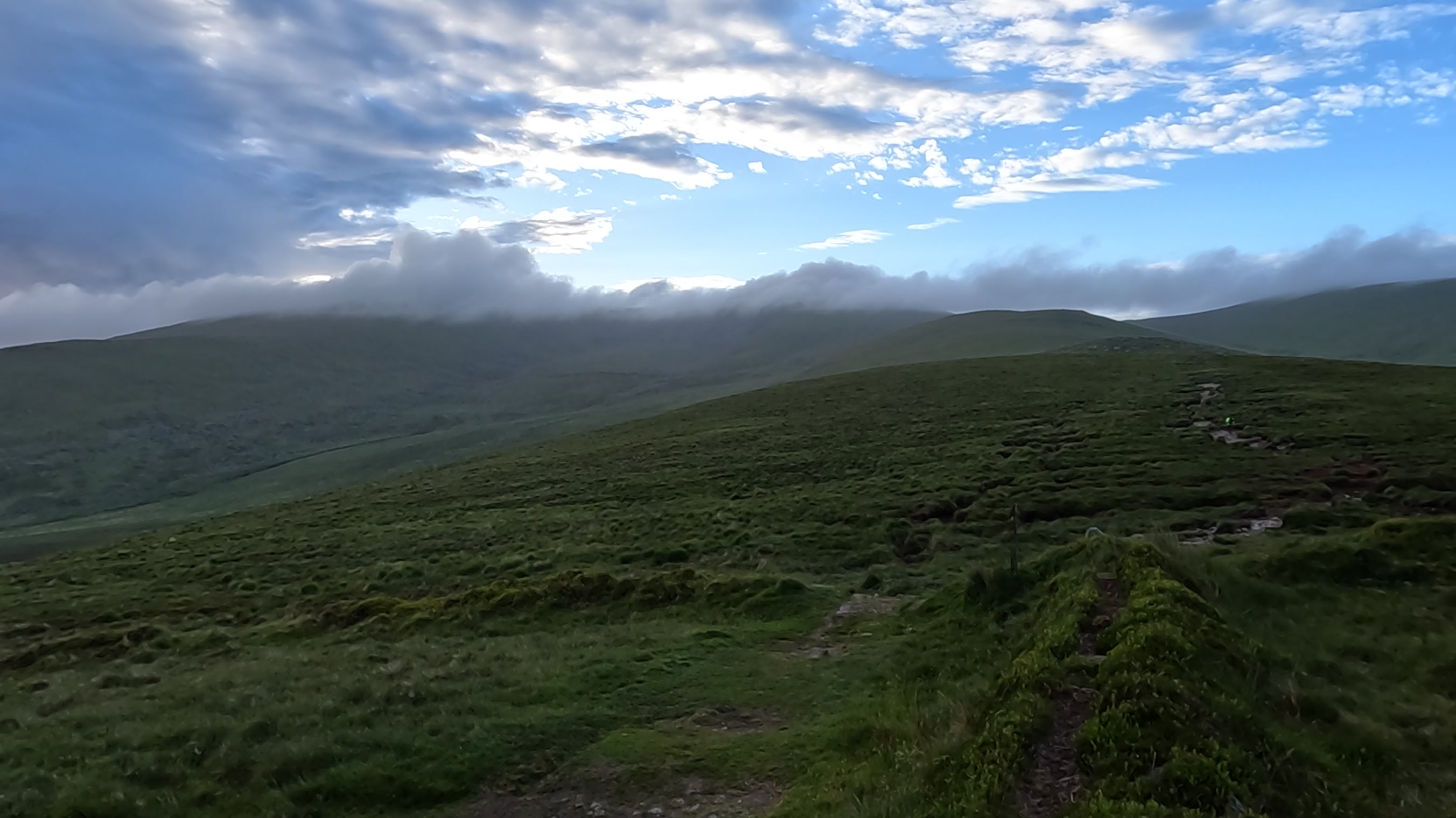
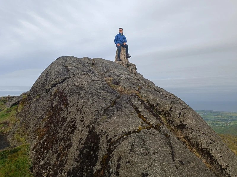
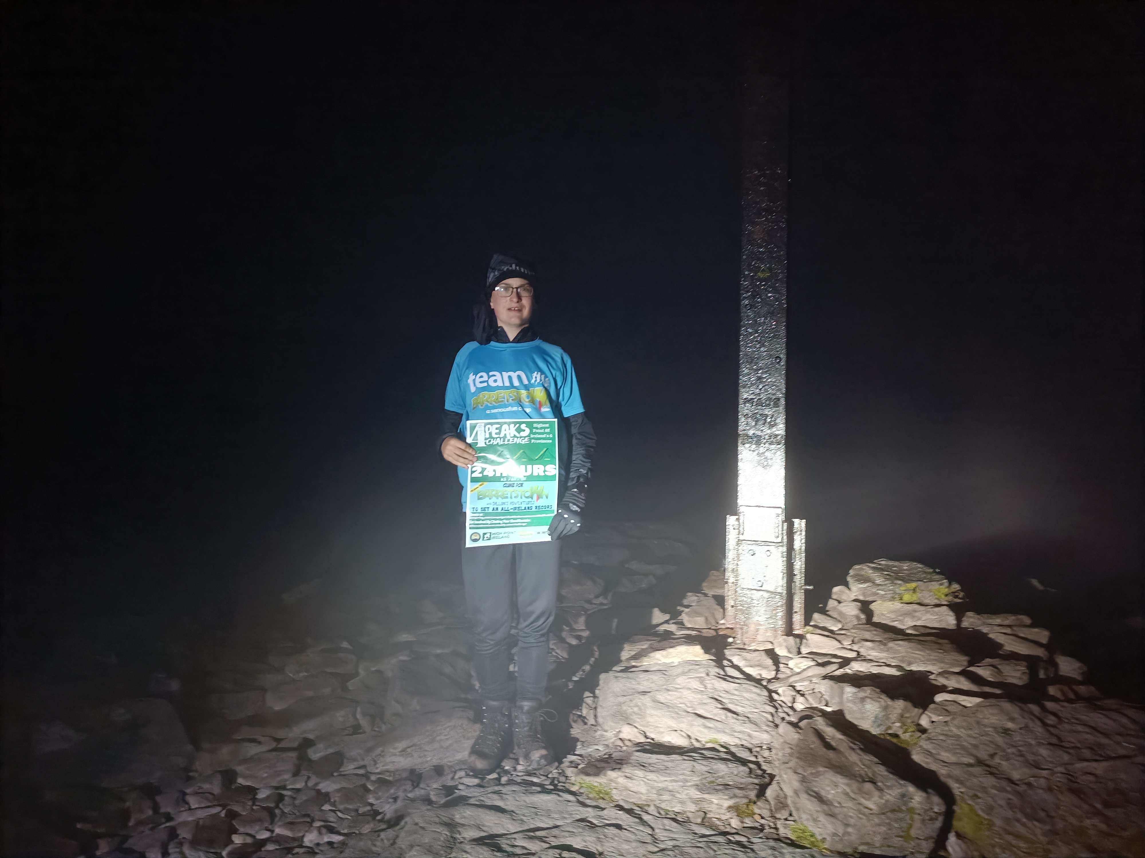
A dense fog came in as we reached the col between Lugnaquilla & Slievemaan, but we had many GPS devices on the go and backup maps in the bag so weren’t hindered too much. We reached the summit plateau only to be greeted by a similar roaring wind to the top of Slieve Donard, only this one definitely had a colder chill and dampness to it. Luckily we didn’t have to wait an hour this time and just made a quick video for social media and logged our second province high point on Peakhunter before heading back down the mountain, at speed initially to try get below the cold, damp cloud as fast as possible.
We met a few walkers coming against us on our way down, despite it being 08:30 in the morning, but then again I suppose we are usually out walking a lot earlier than that for our weekend outings!
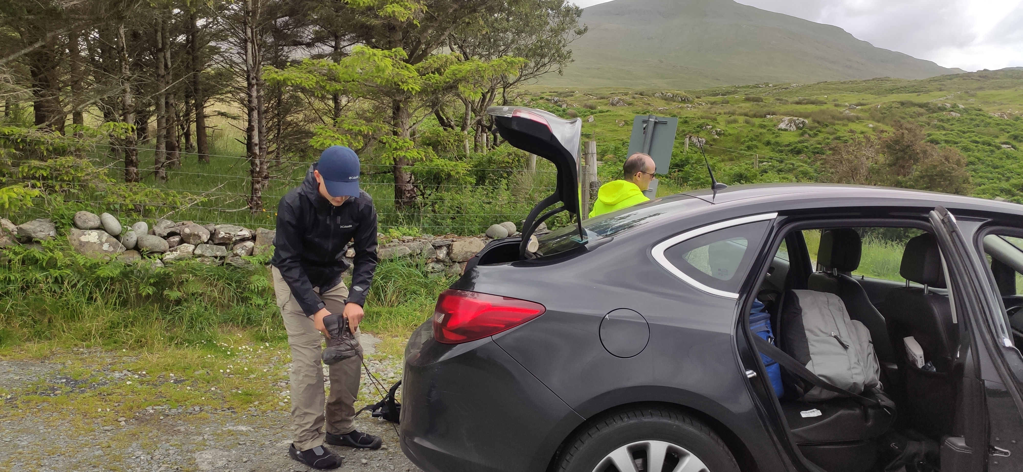
We picked up Mam in Kildare and she took over driving duties fully refreshed after a good night sleep and ready for the day of driving that lay ahead. Dad and I tucked into a bit of Breakfast (Meals On Wheels!) before shutting our eyes for some much needed sleep. We were now heading west all the way to the coast near Silver Strand Beach, our start point for Mweelrea. Mam’s first drive of the day was between 3.5 and 4 hours and not far off 300 km. We stopped once on route for Diesel and toilets.
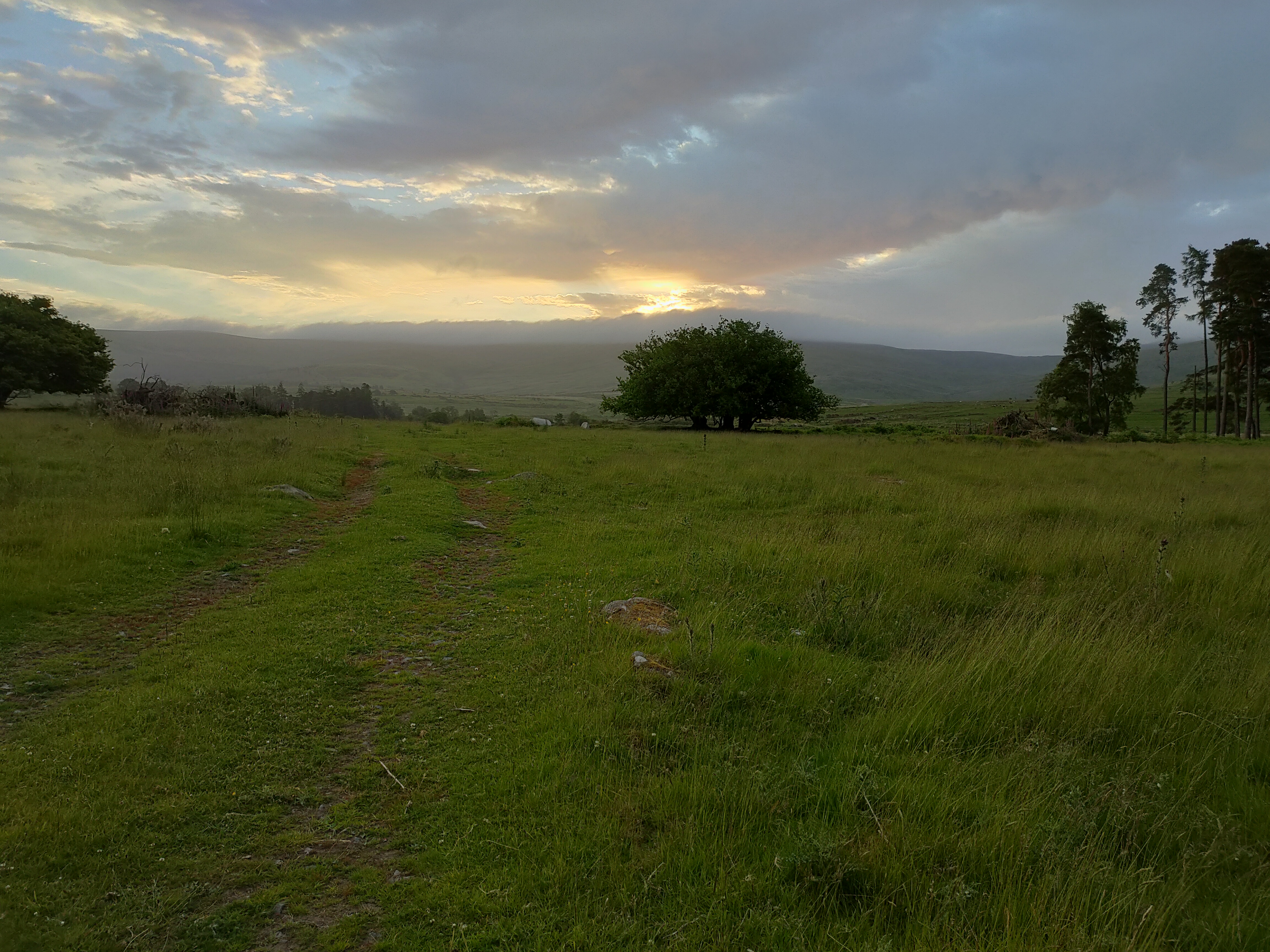
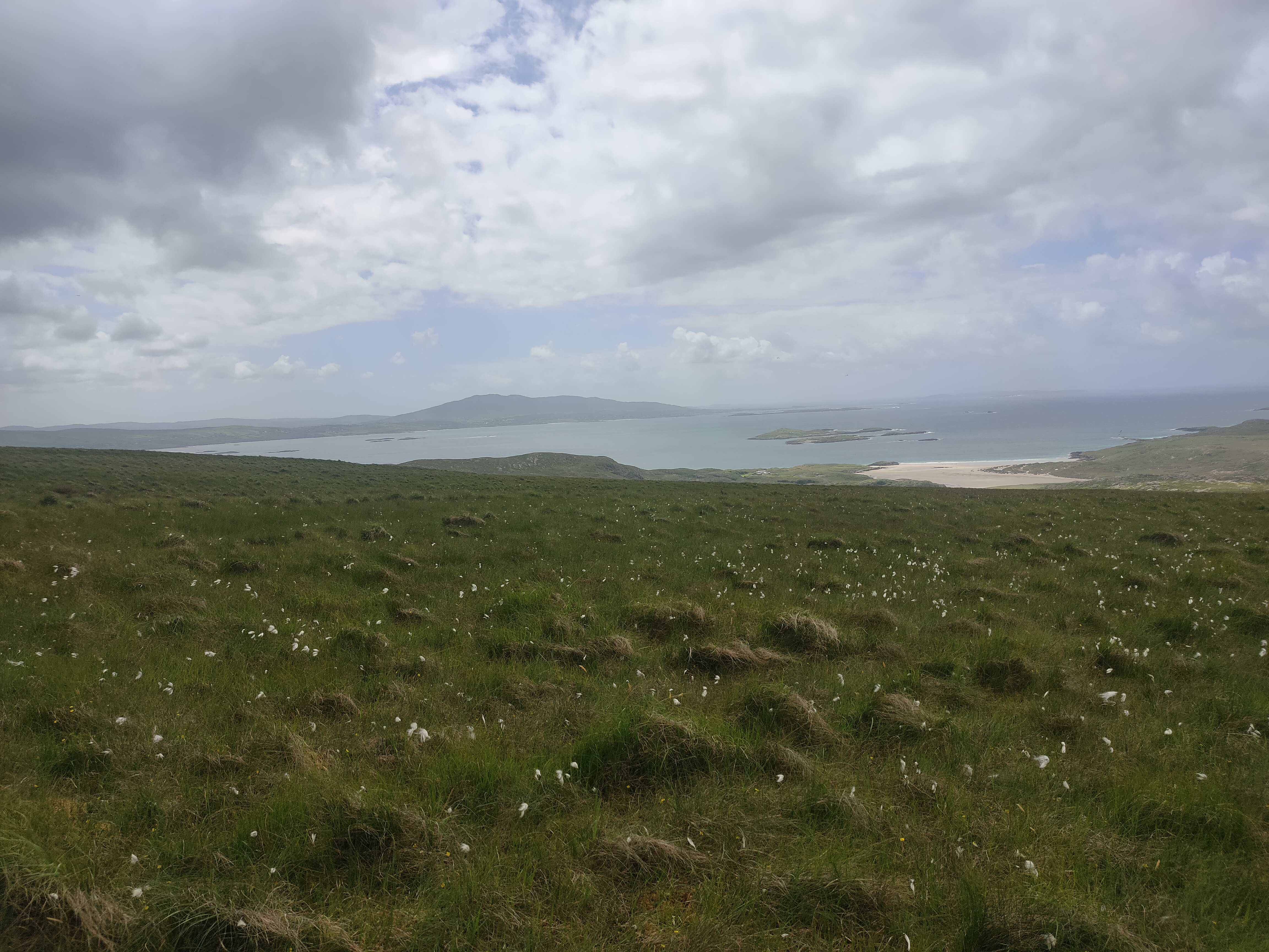
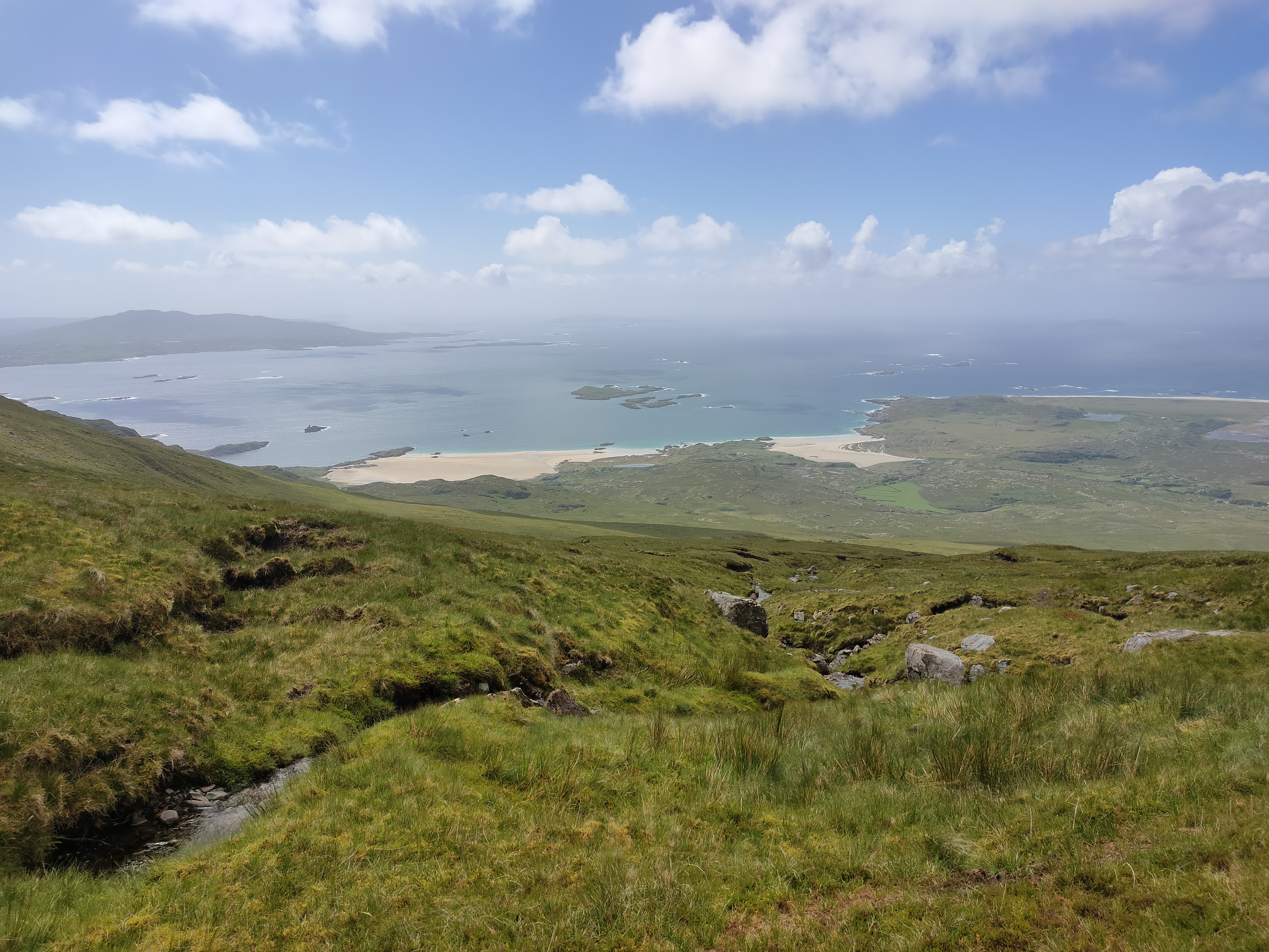
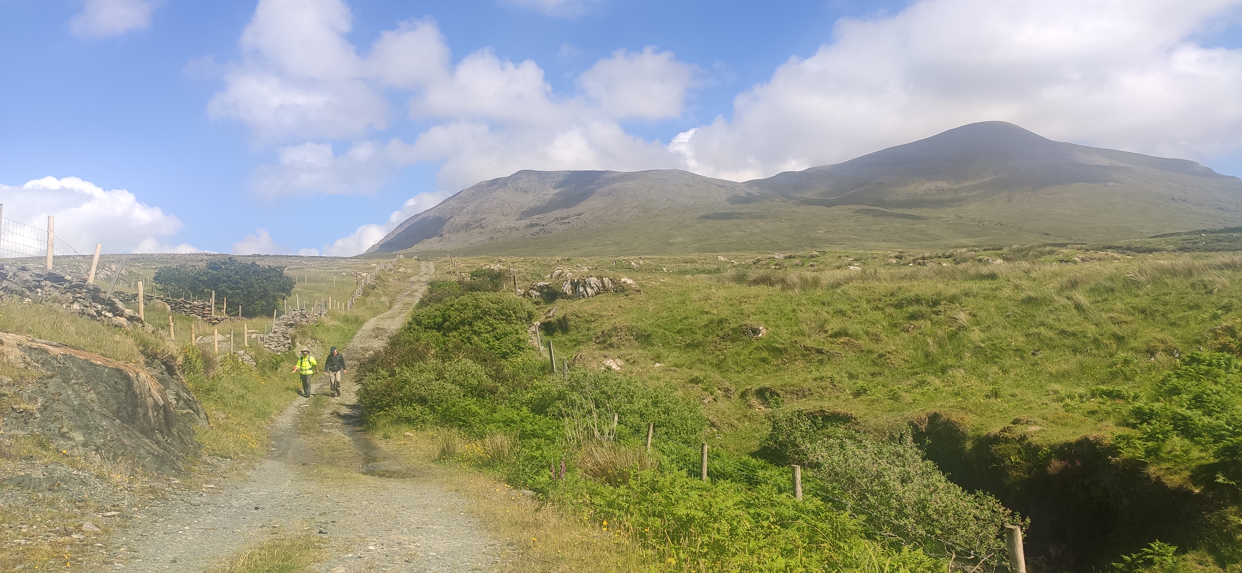
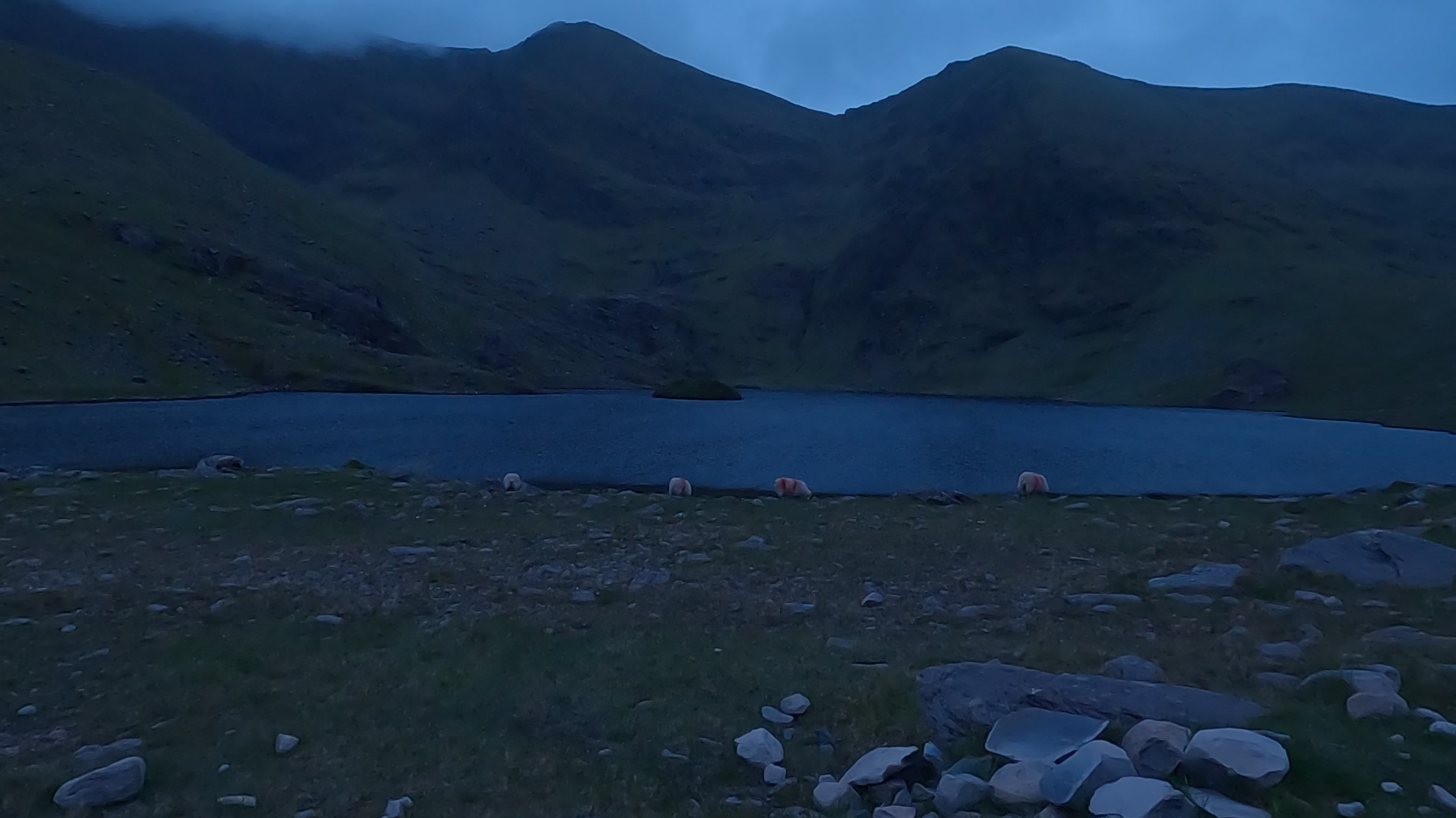
Arriving at our start point we were delighted that we could see Mweelrea and its neighbouring mountains were very clear and the sun was shining making Silver Strand look amazing.
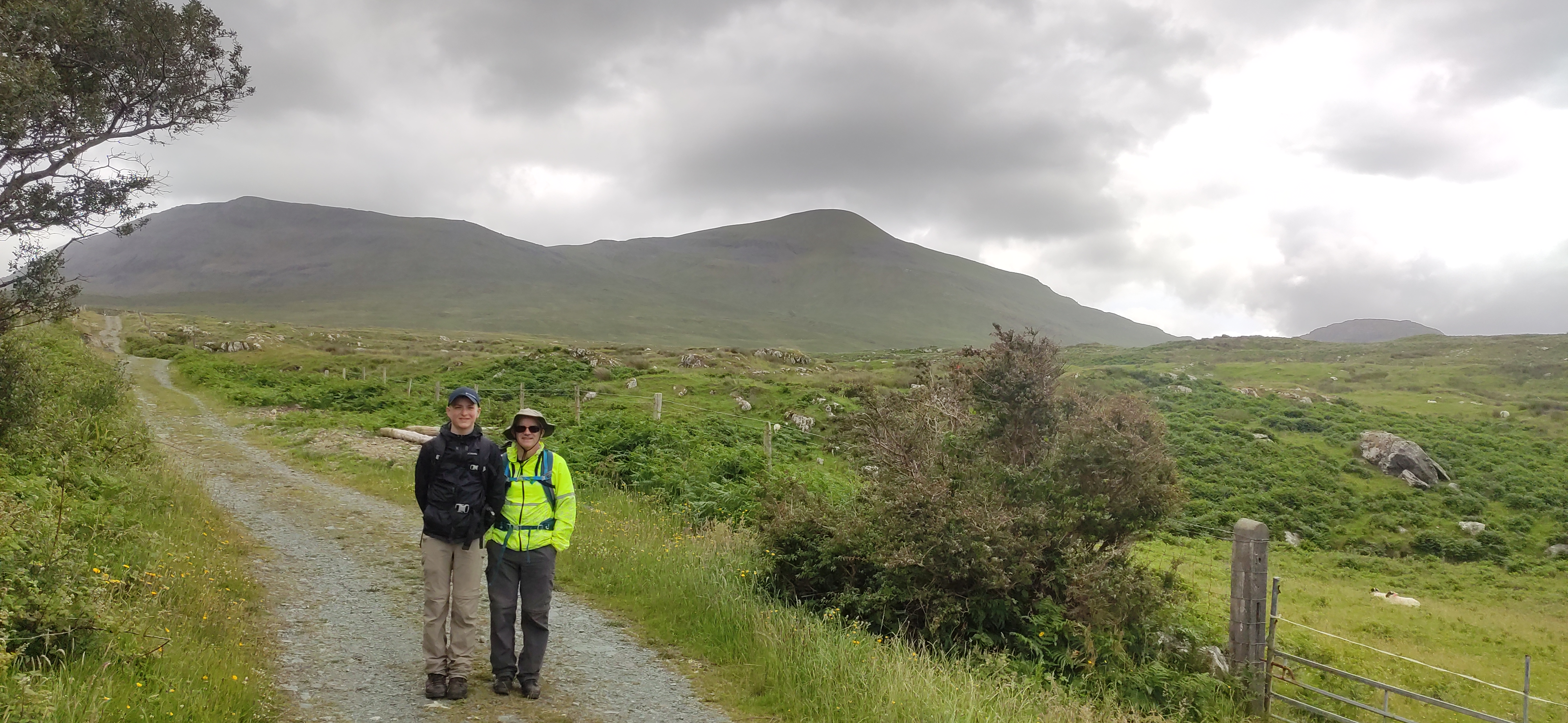
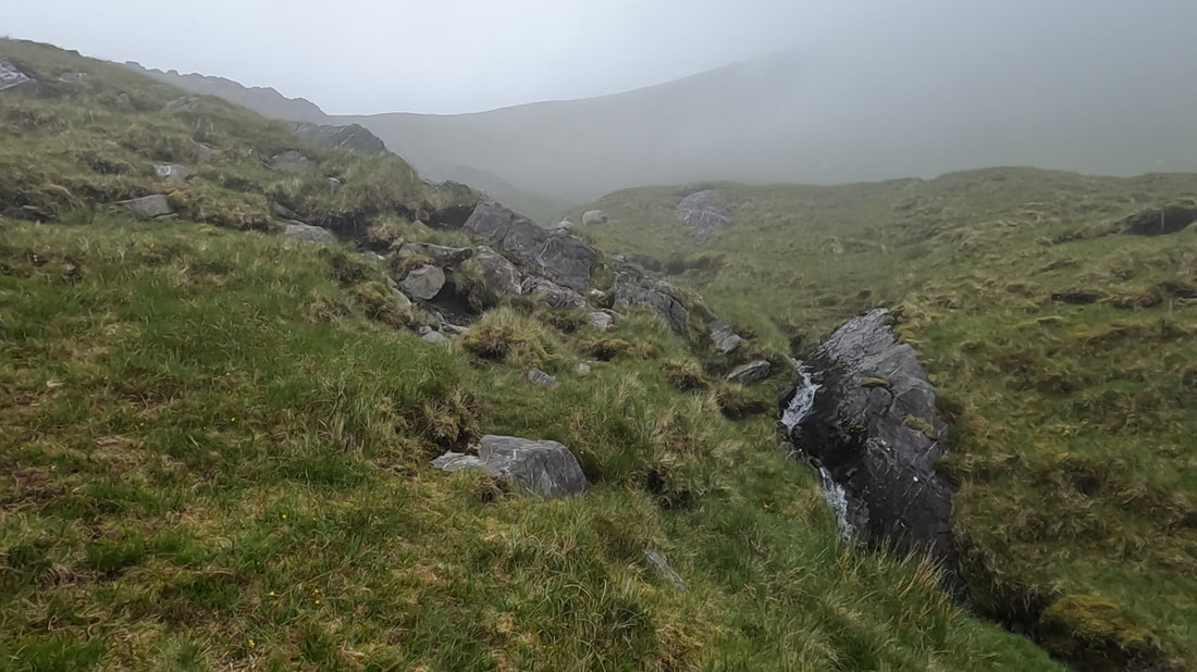
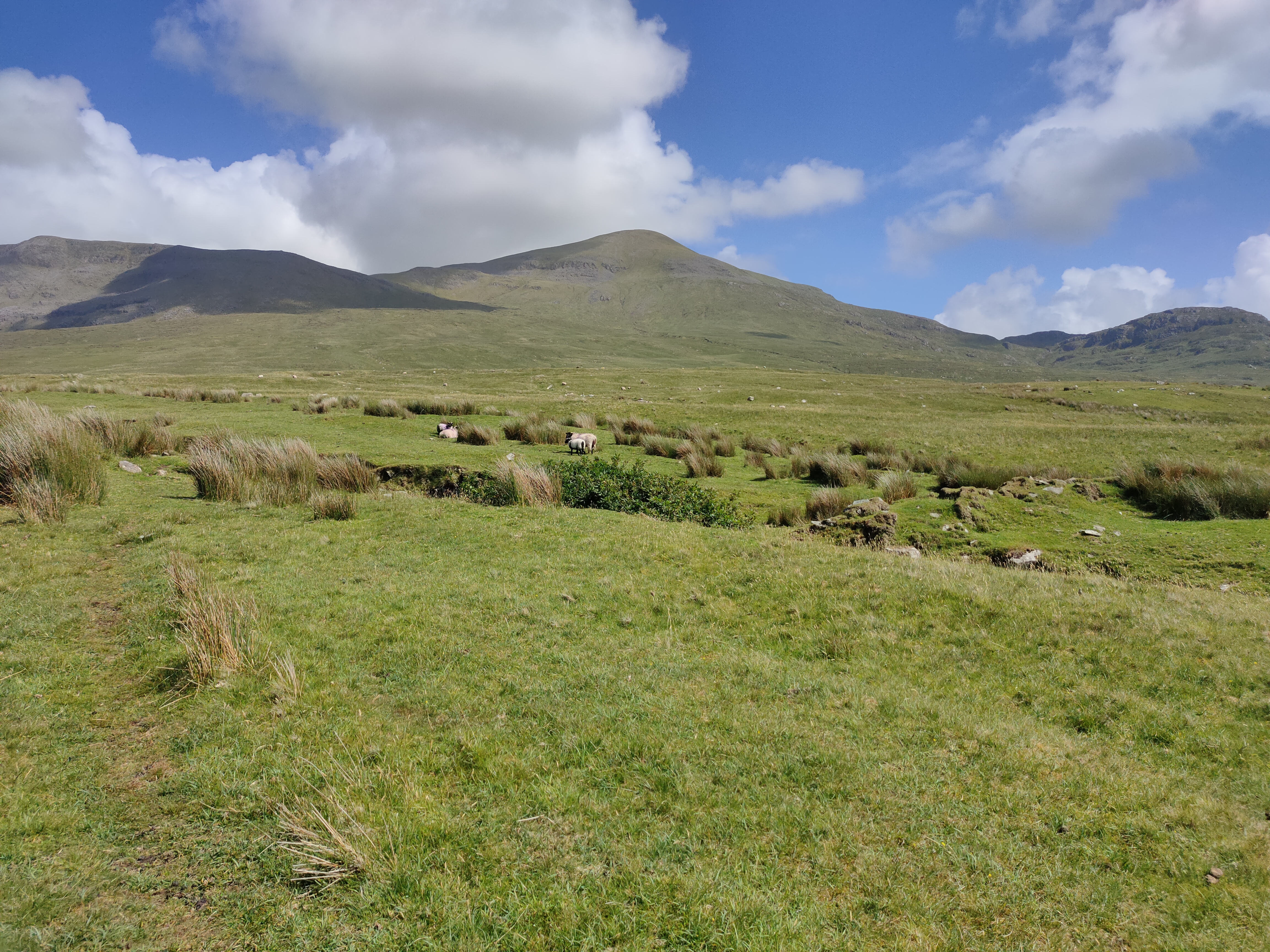
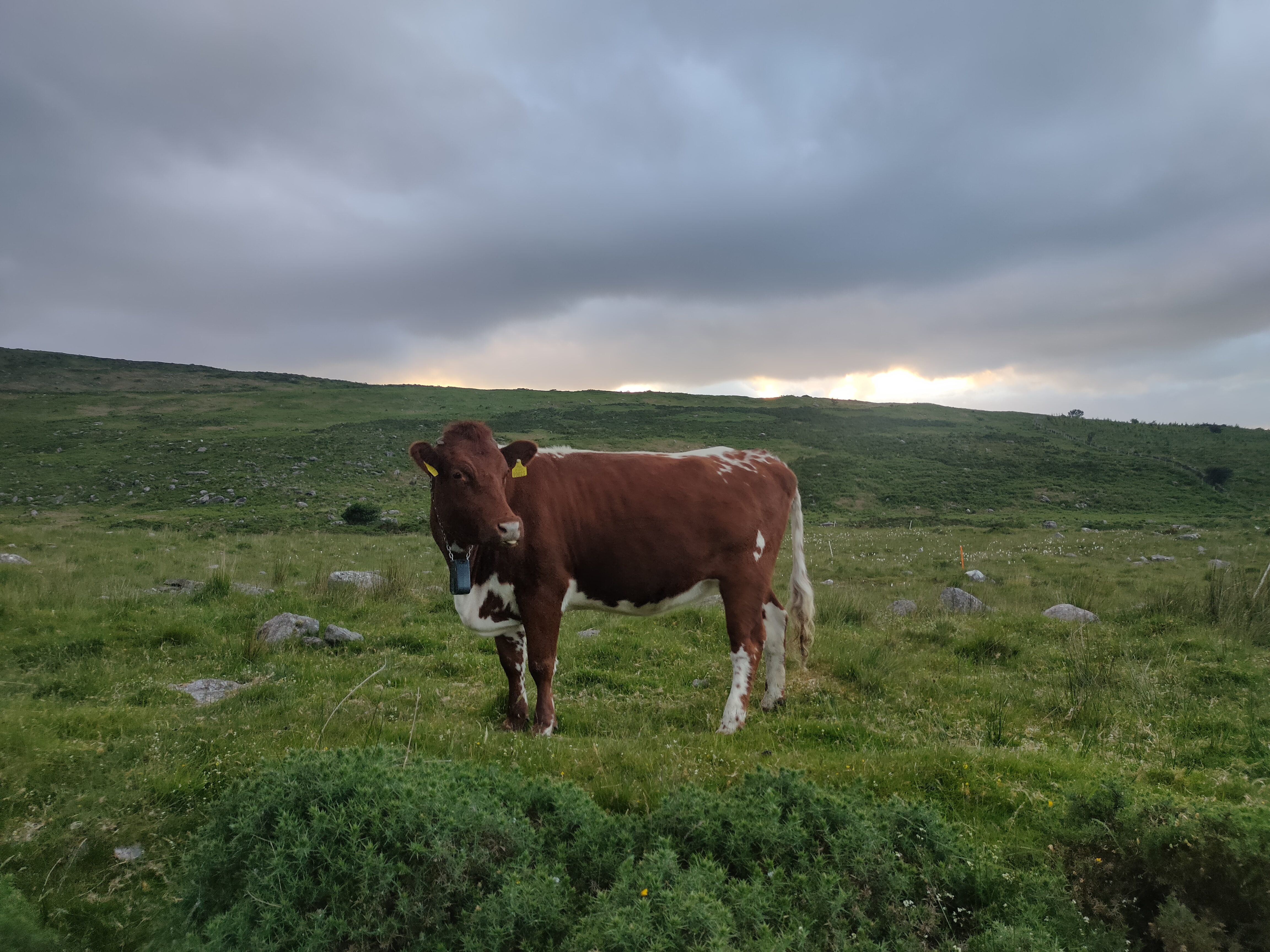
Sun cream on and off we went. After walking along the short farm road, we were out onto open mountain. Of course, since this was mayo, it was extremely boggy open mountain. And so the “squish, squish, squish” of our boots squelching with every step ensued. Soon though, just as we had begun climbing up onto the col between Mweelrea & Ben Bury that noise was replaced with the “pitter patter” of rain. We equipped our waterproof coats & bag covers and trudged on up Mweelrea.
Luckily it was just a shower and after about 20 minutes the blue skies had returned, just in time for a Peakhunter picture and another update video for Social Media. Wow, three of the four done and still over eight hours left in the day!
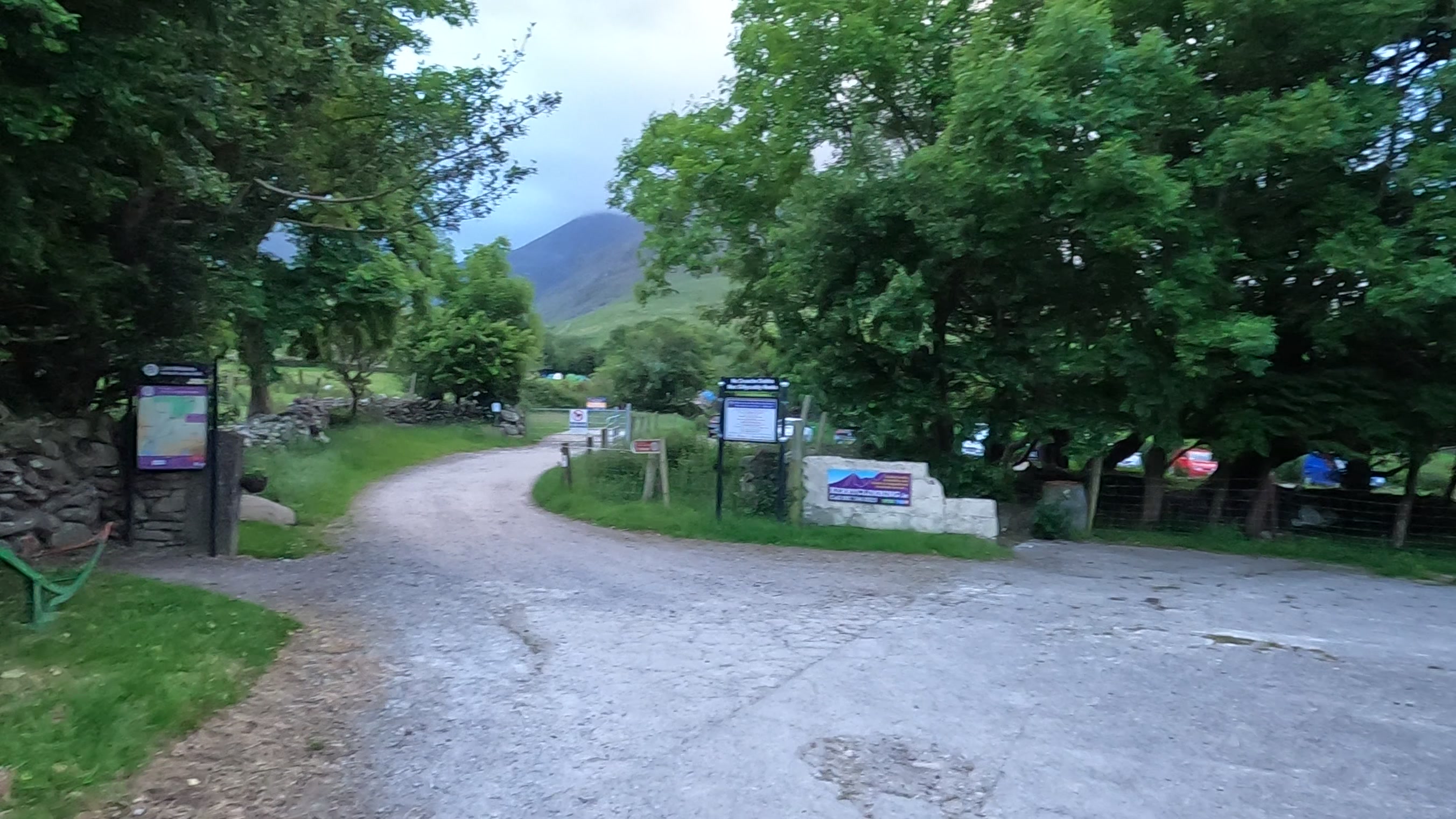
After a rapid descent of Mweelrea, we were back to the car by 16:00 and after a necessary change of clothes we soon began shortening our 4 and a half hour over 300 Km drive to our final, and highest mountain of the day, Carrauntoohil from Cronins Yard. We stopped once on route again, this time to fuel up on tea.
We had been keeping an eye on the “Climb For Barretstown” situation as well, and were delighted to see that people were donating and participating by climbing their chosen Sport Hillwalking Location!
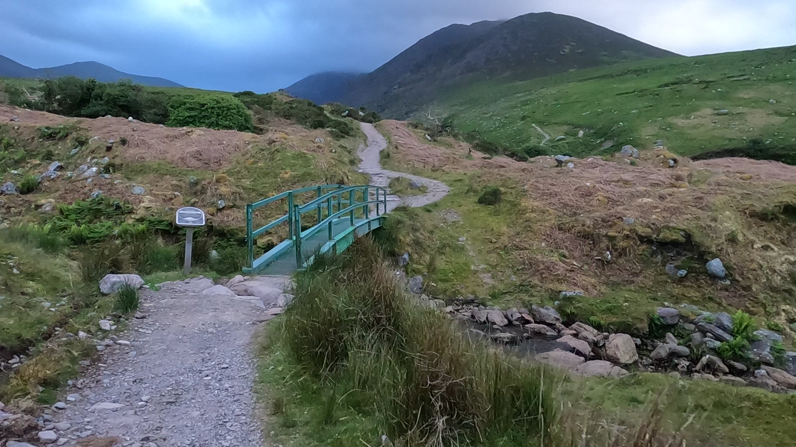
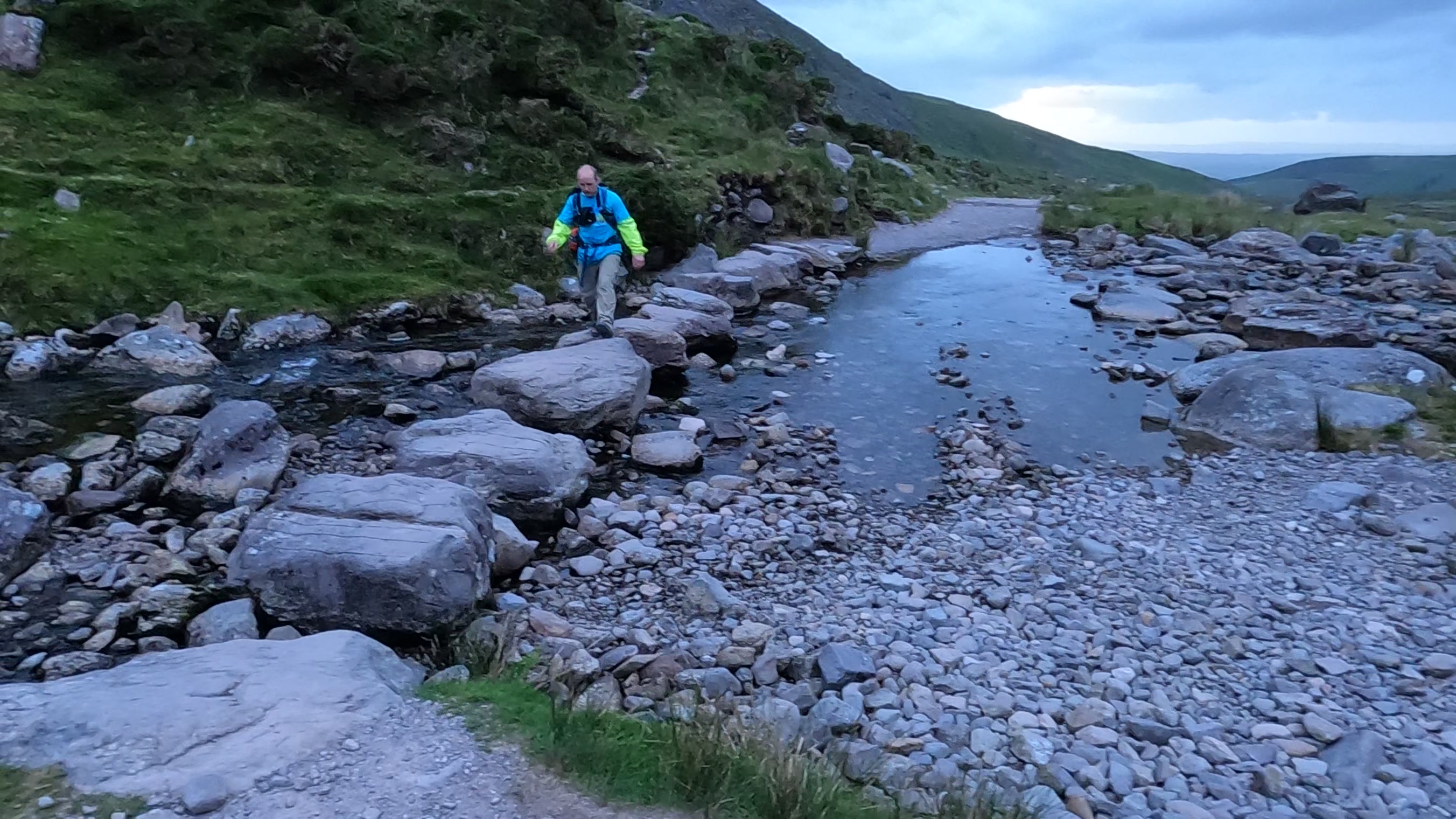
Stiff after the long drive, it was just gone 21:00 as we laced up our boots for the last time and began the gradual ascent through the Hag’s Glen, reaching the not-so-gradual climb of the Devil’s Ladder around 22:25. The steep, “hands on climbing” was a nice break but after reaching the ladder’s mouth we began the final slog to the peak. The wind was funnelled up behind us at an unreal strength at the exit of the Ladder but eased a bit again as we turned for Ireland’s highest point.
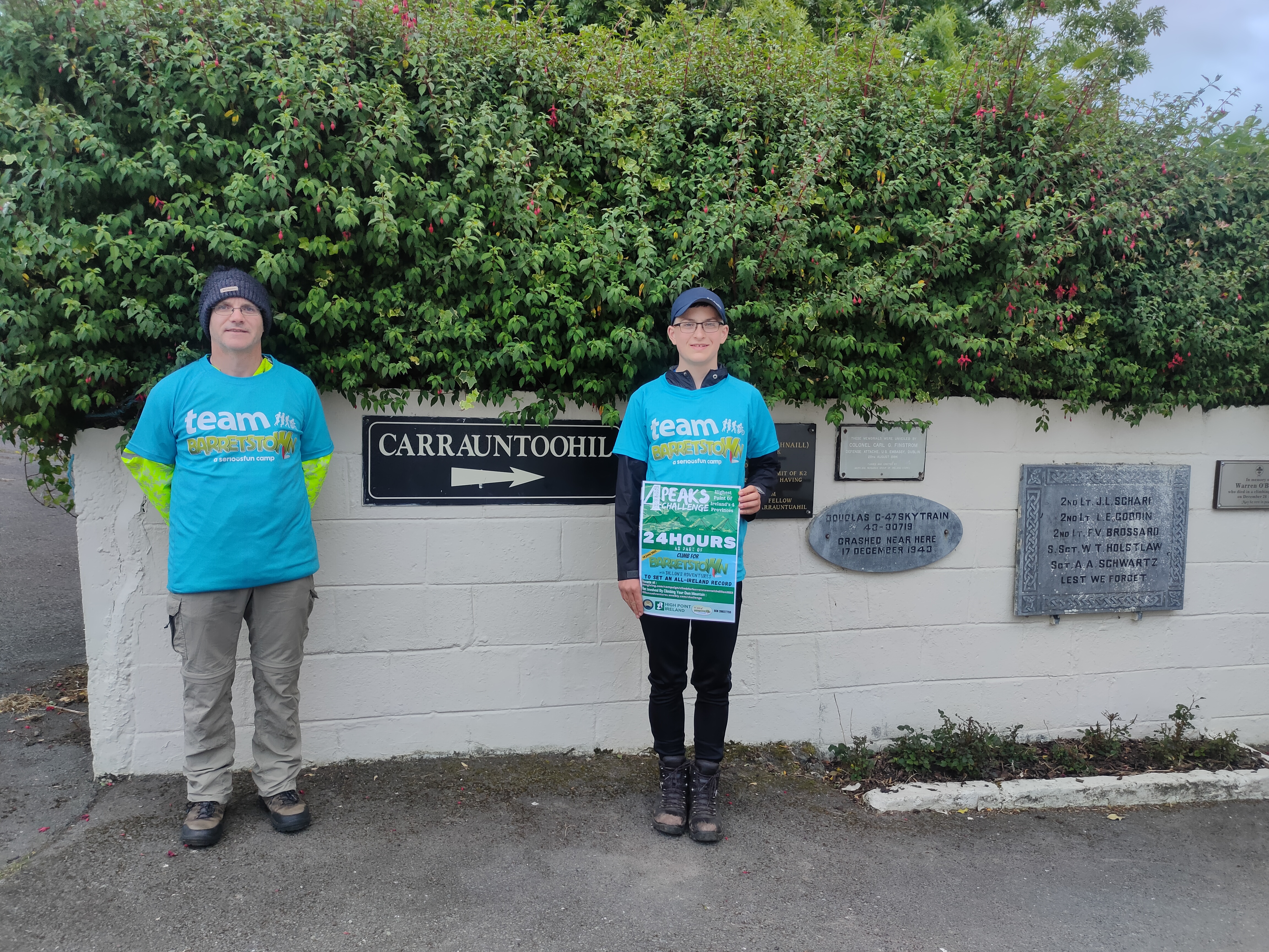
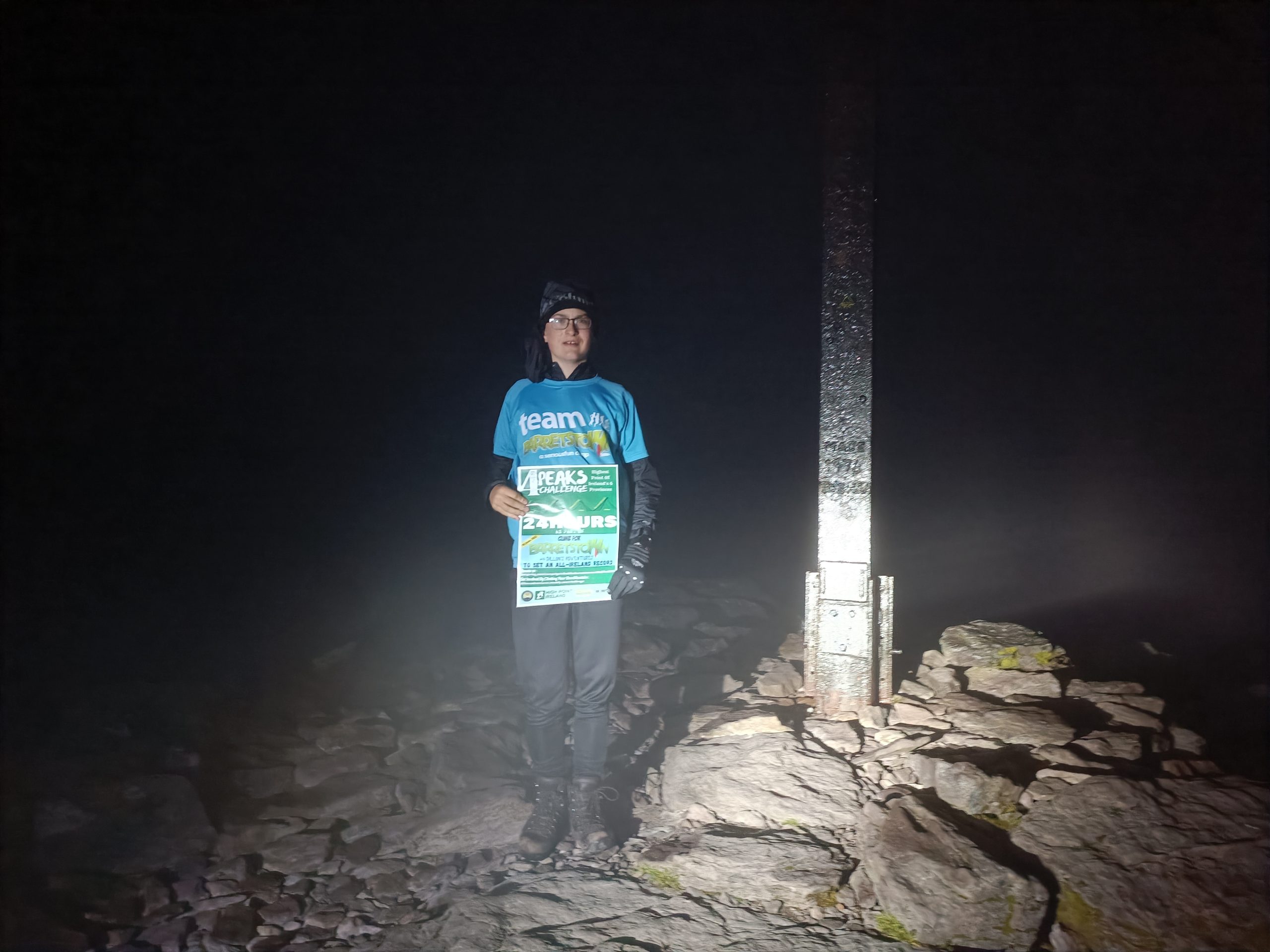
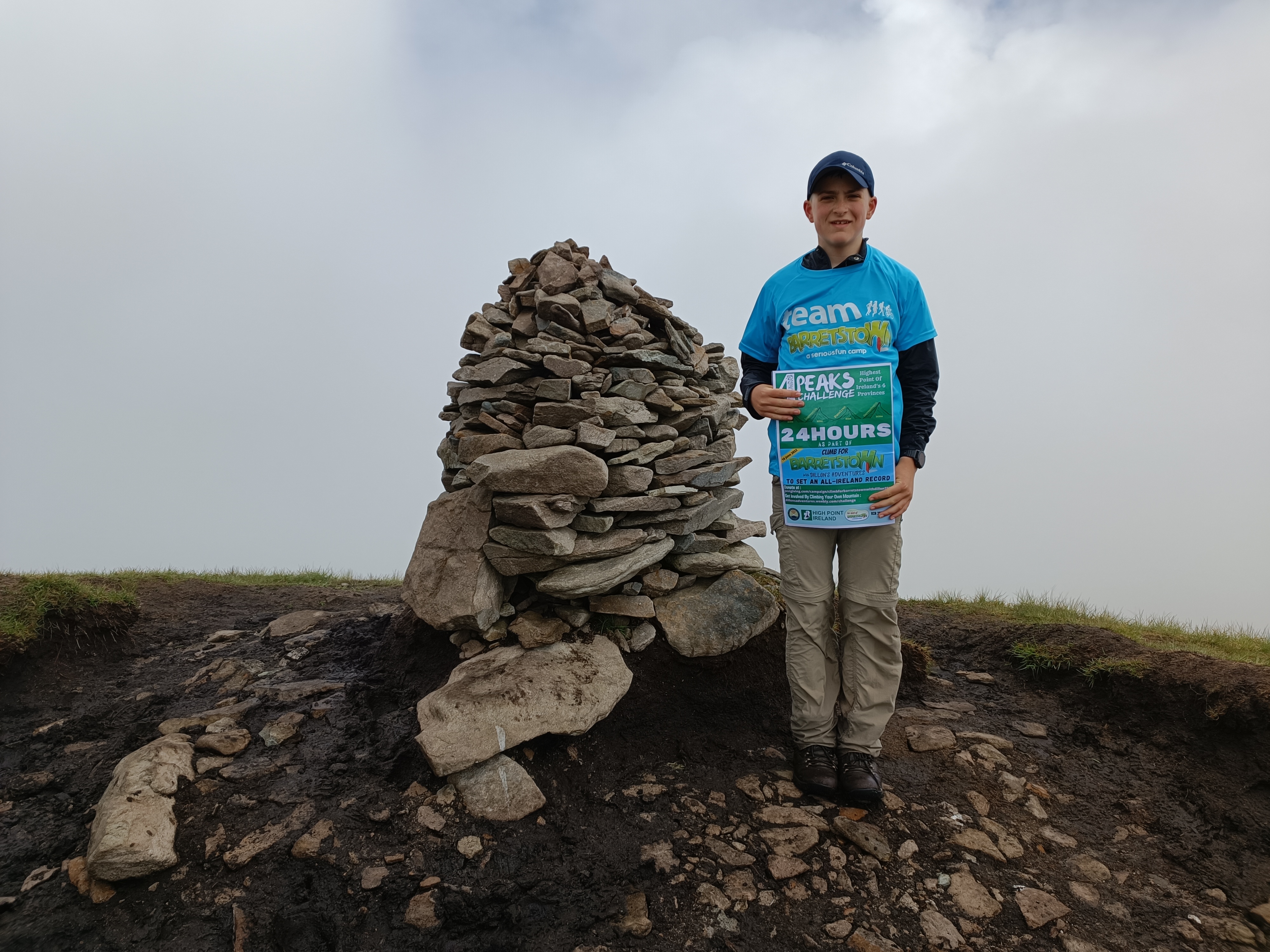
We made it to the top without lights, and I logged Carrauntoohil, my final Province High Point, at 23:19, which meant that in just 22 hours and 18 minutes I had reached the Highest Point of Ireland’s four Provinces. We recorded the final live update for social media putting out a call once again for donations to Barretstown.
Over the course of this challenge, we had been out on the hills for 14 hours and 44 minutes, walked 44.5km, climbed 3,336 meters, and taken 69,931 steps, travelling a whopping 1,422km by car.
In total, 15 people participated in “Climb For Barretstown With Dillon’s Adventures” recording 40 logs on Peakhunter at 26 different Irish Sport Hillwalking Locations, setting a brand new Sports Record by logging the most Irish Sport Hillwalking Locations in one day. Well done!
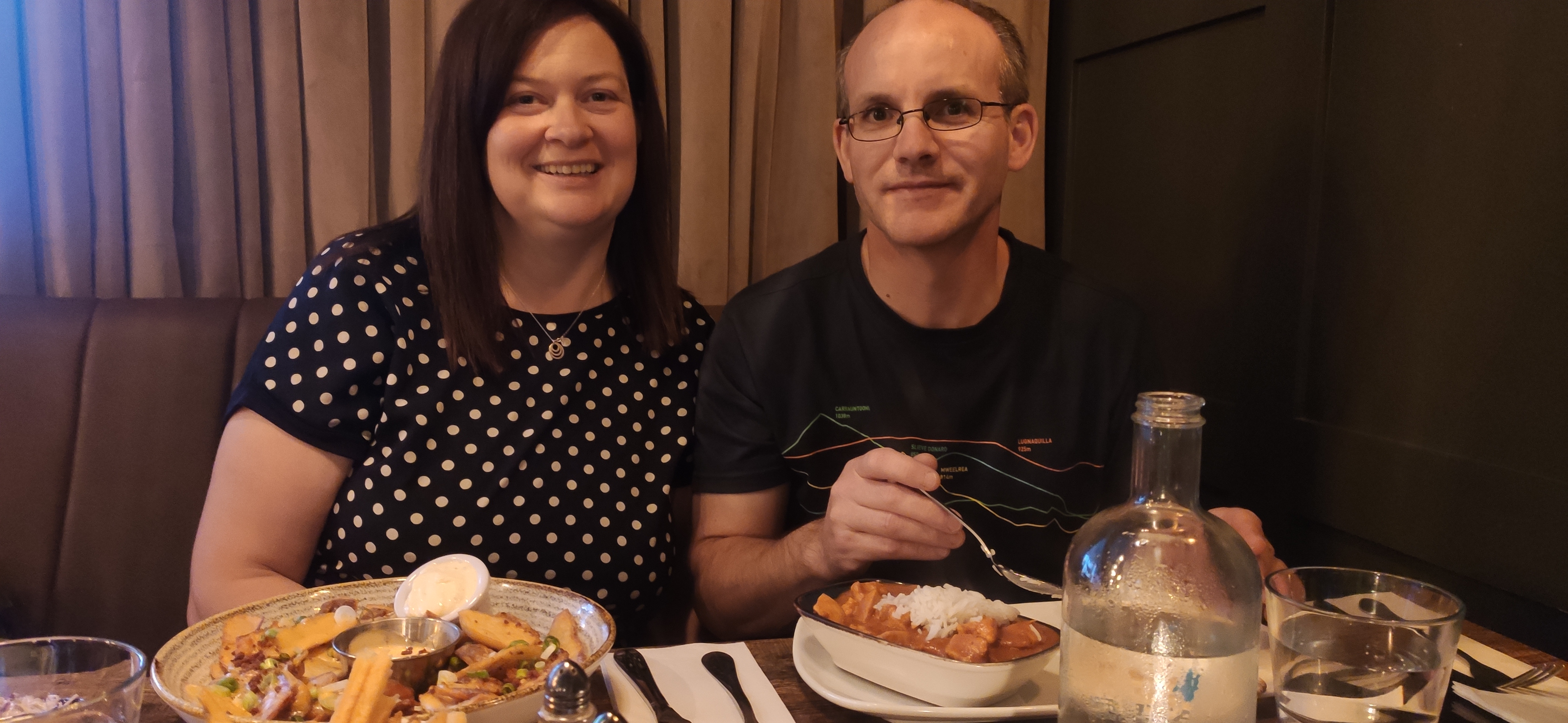
Thanks to everyone who supported Barretstown on the day either by donating (Which you can still do here) or getting out and climbing. A huge thanks to High Point Ireland and Peakhunter for their help with this challenge. Thanks to Mam for driving us all around the country, and of course thanks to Dad for being with me every step of the way.
Now all that remained was to get back to Cronins Yard and the final drive back home, a mere 100km for Mam to complete the day.