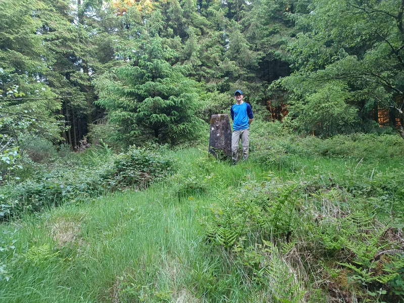
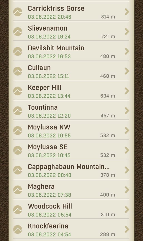
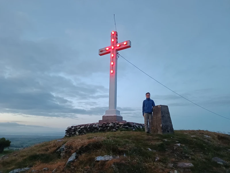
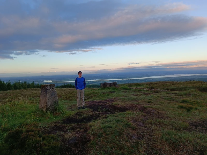
We set off this morning with the goal of logging as many of our (sort of) local locations as possible. First up was Knockfeerina, which, being logged at 04:54, is our earliest log of the whole challenge! We used the bikes to help us speed along the ‘The Red Road’, but were forced to walk the last section as it was so steep!
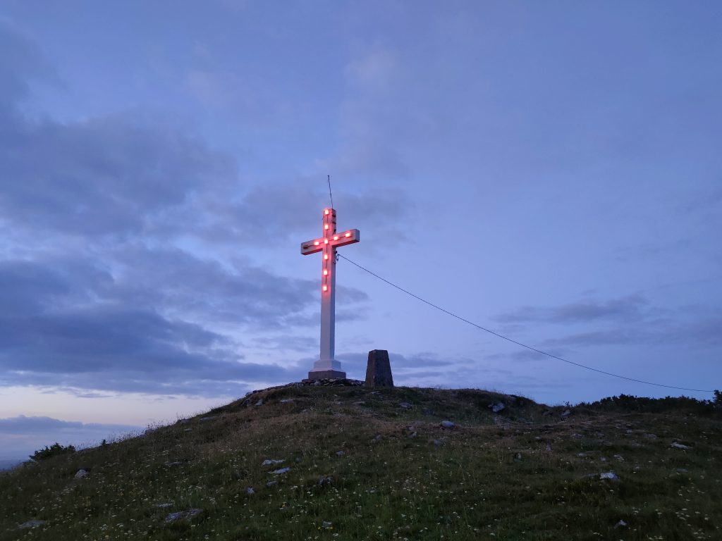
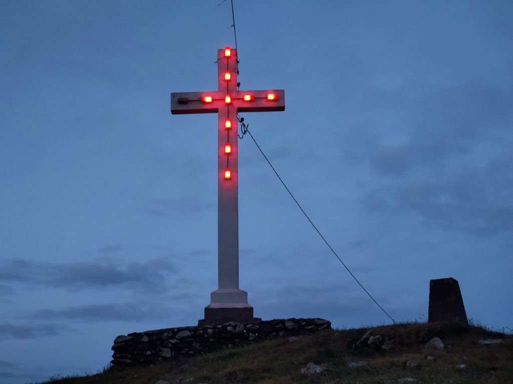
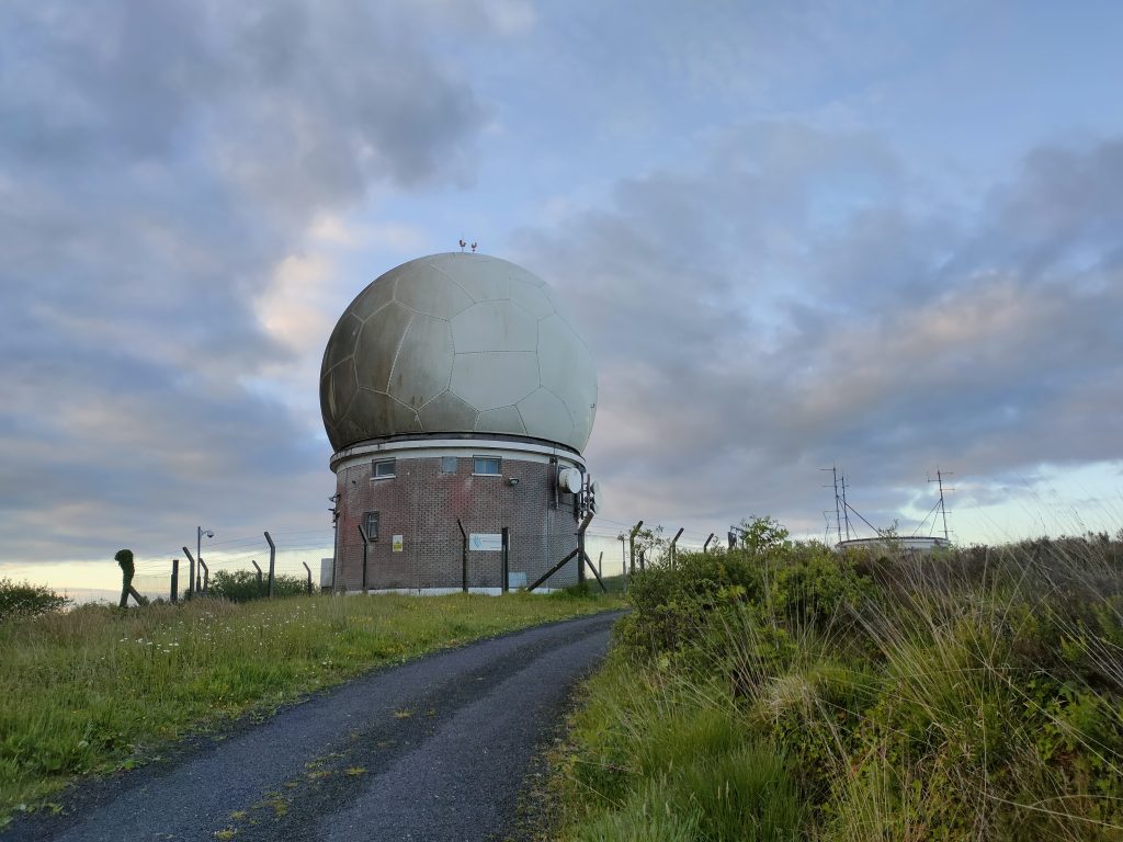
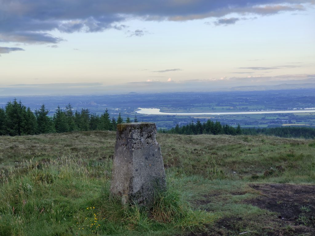
Next up was another simple one, Woodcock Hill. Simply park up the car, walk for 2 minutes past ‘The Golf Ball’ to the High Point, and log it! It’s that easy!
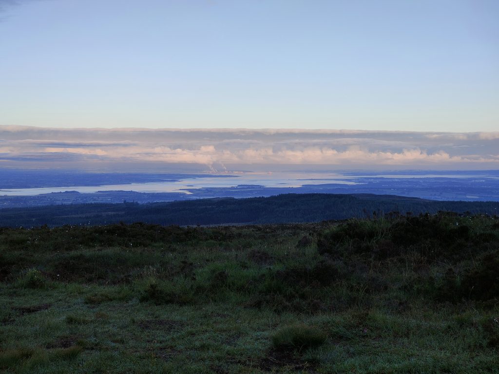
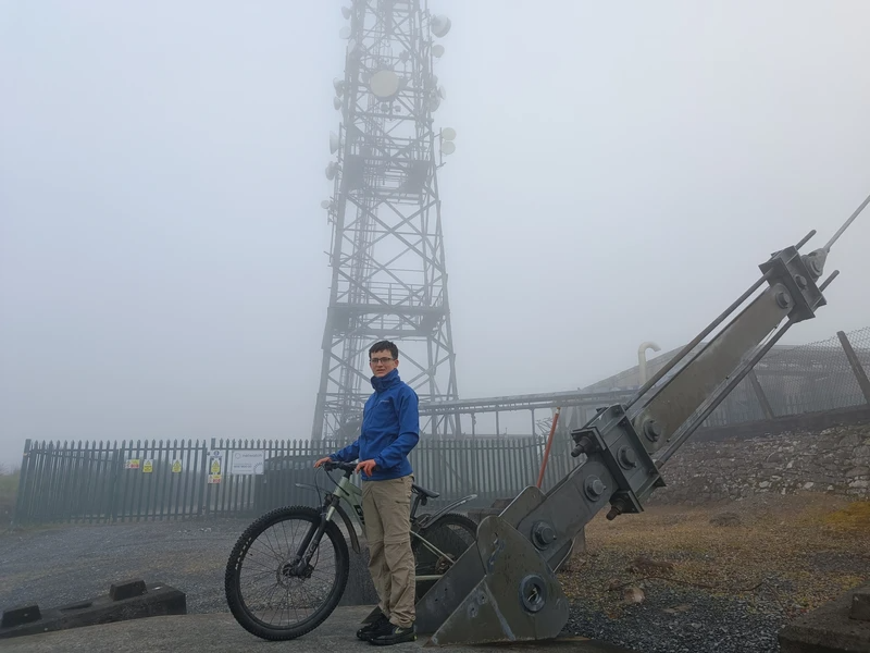
Back on the bikes again, cycling through the mist to reach Maghera!
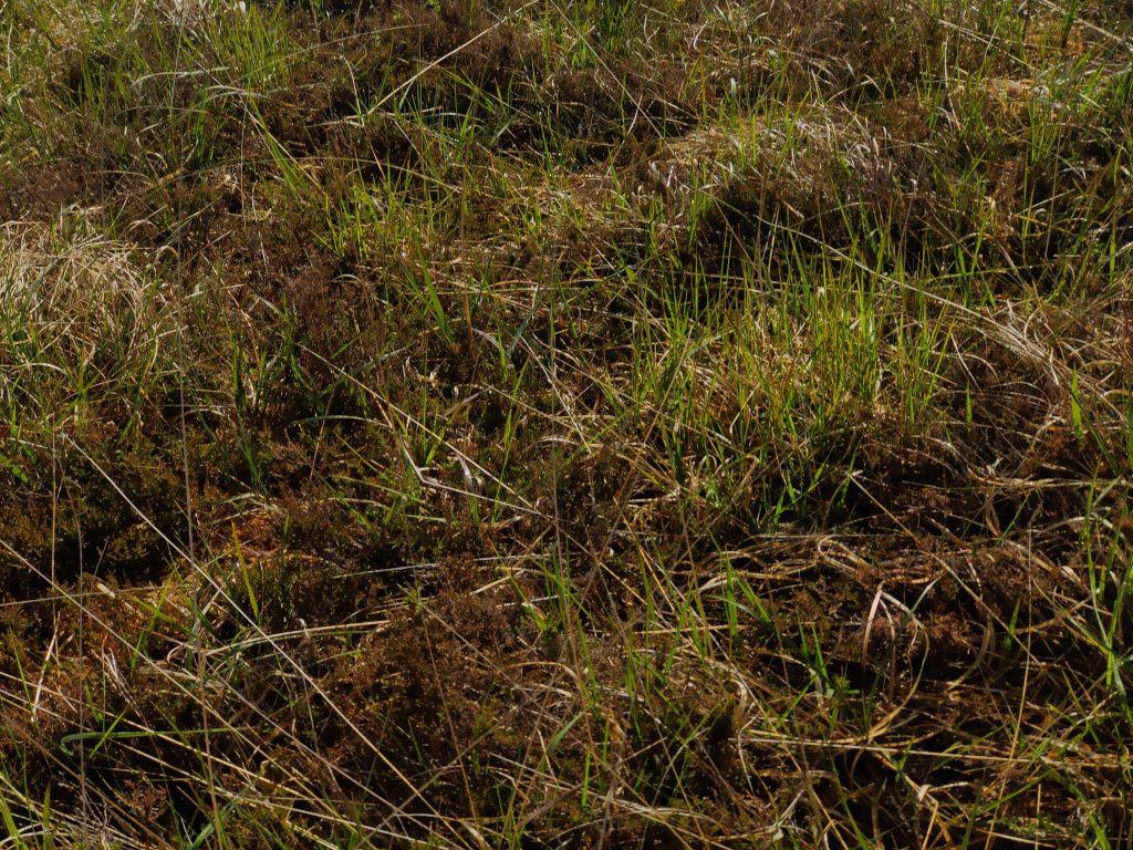
We had the wellies on for Cappaghabaun Mountain East, a notoriously wet one! Luckily it seemed to have dried up a bit since our last visit!
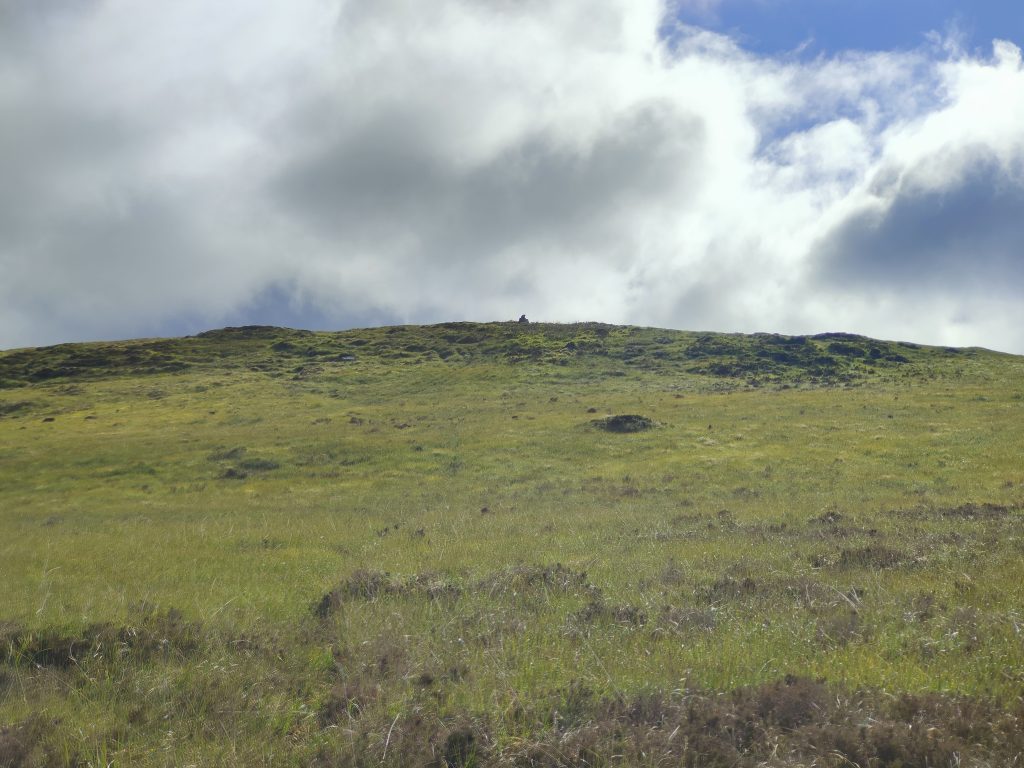
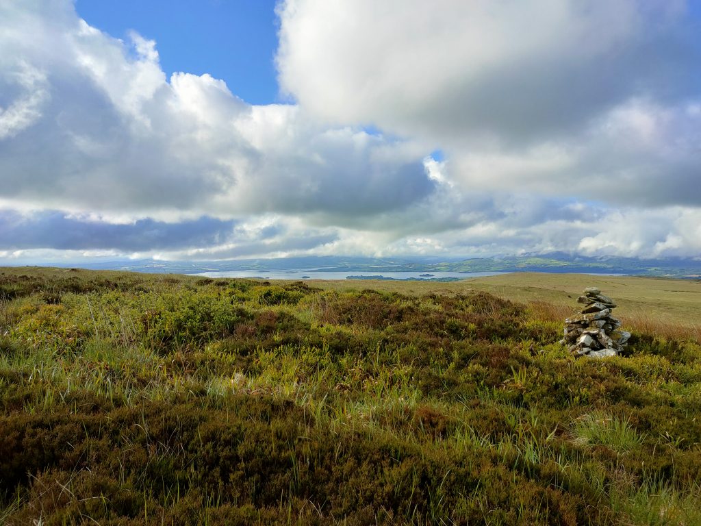
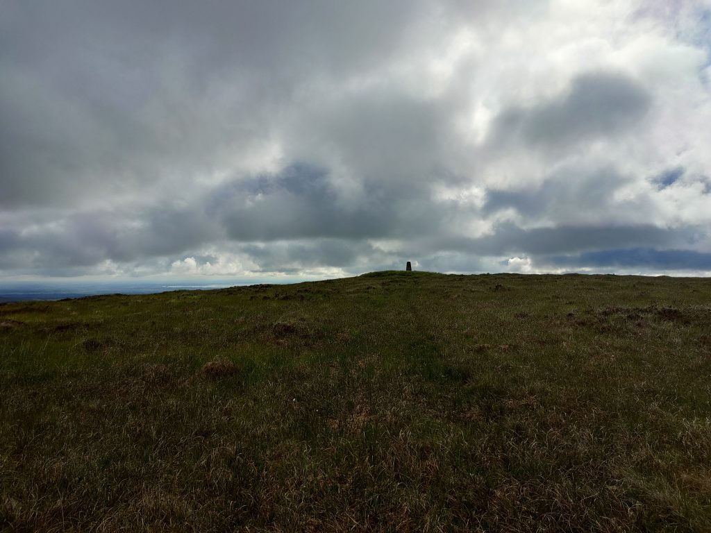
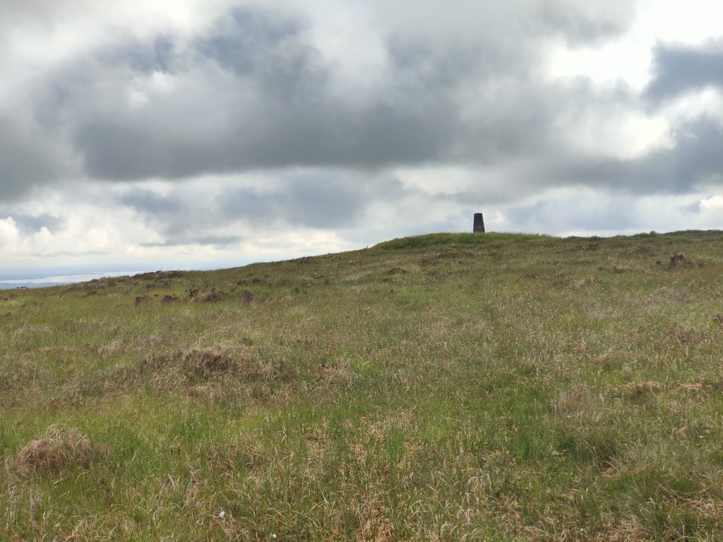
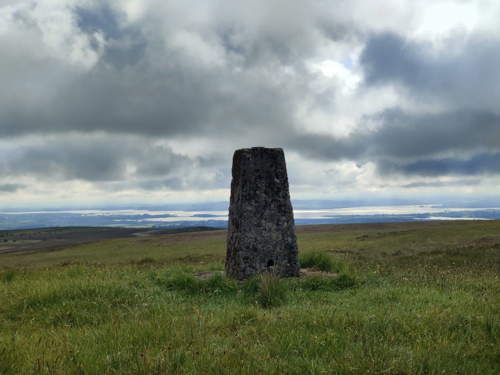
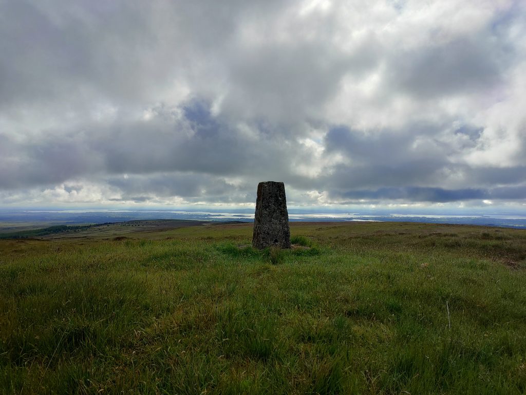
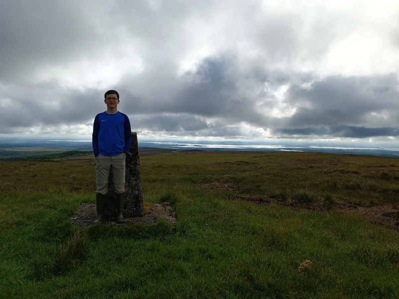
Next up was the County High Point of Clare, Moylussa! We used the bikes here, once again walking the last steep bit. We made sure to log the NW Top aswell to get some more points
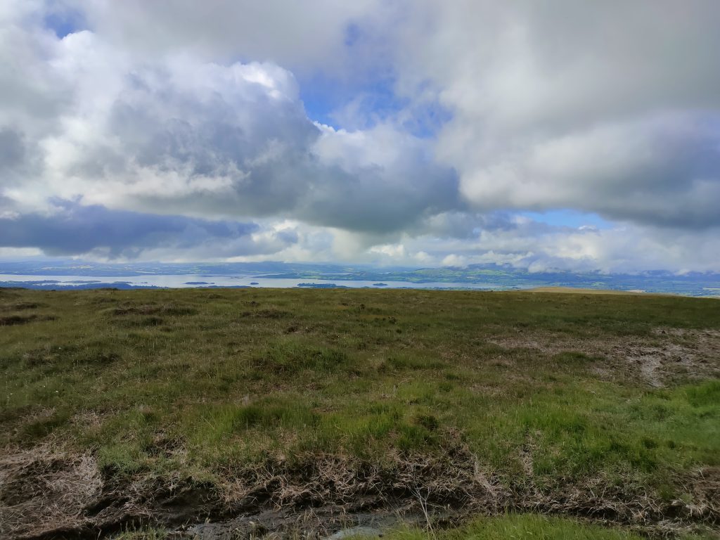
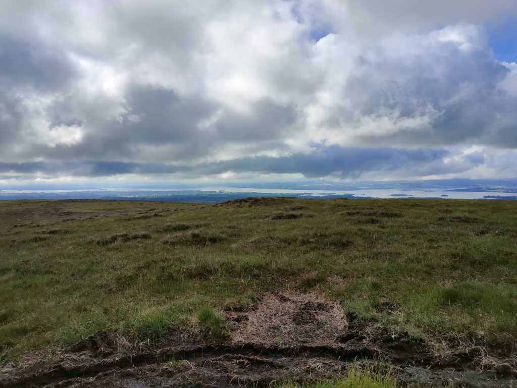
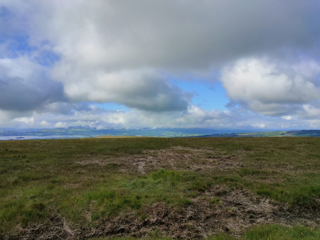
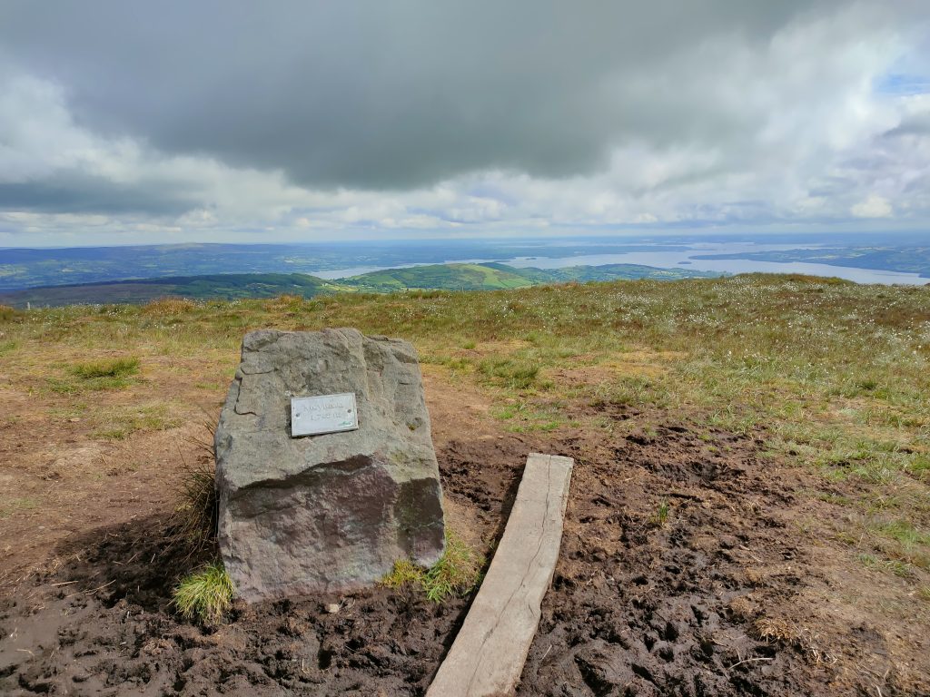
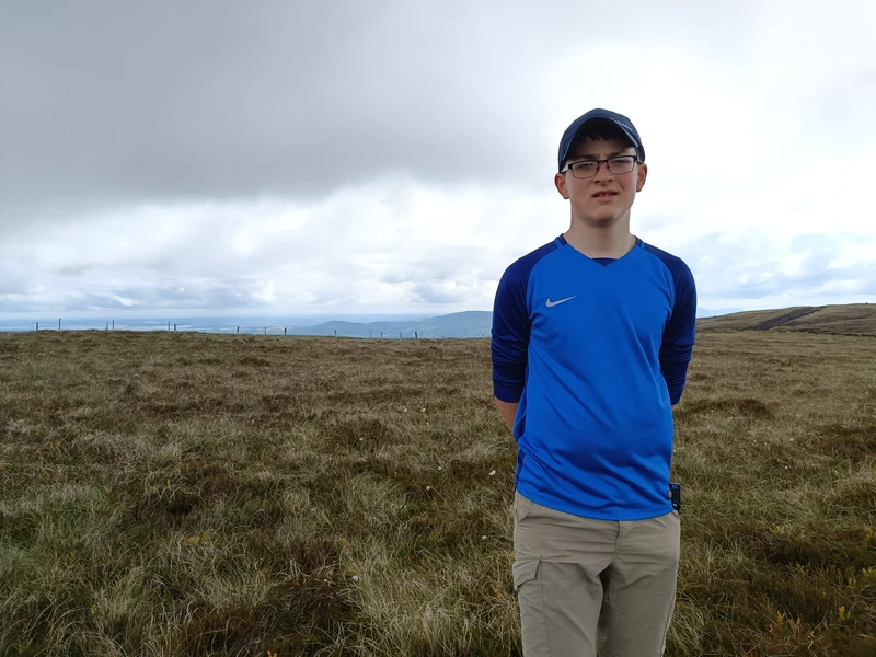
Another drive-to-the-top, Tountinna! Well, almost to the top. I think we had to take around 10 steps to reach the High Point!
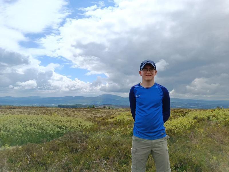
We were lucky to be able to drive up most of the forestry roads surrounding Keeper Hill, cutting down our walk to under 5km! Not Bad!
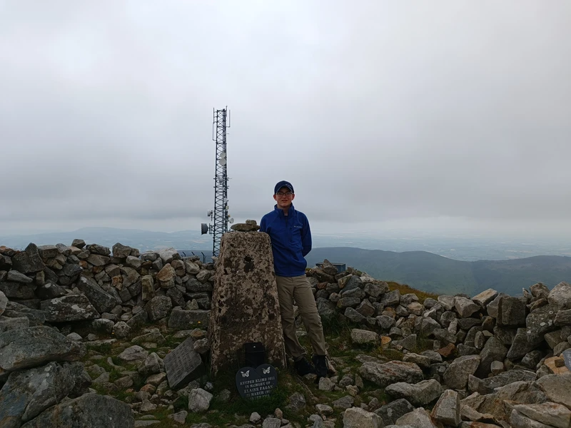
Steep but short, no matter what you will feel the pull of Cullaun, our 9th log.
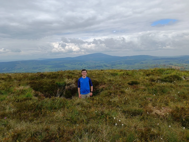
Into the final 3 now, we sped up The Devil’s Bit with a new-found motivation. According to legend, the devil took a bite out of the summit and left his teeth marks in the rock. He spat the rock from his mouth and it landed many miles to the south, where it is now known as the Rock of Cashel. Historical sources indicate that the name ‘Devil’s Bit’ originated in the mid-17th century, indicating that the legend more than likely originated from English settlers.
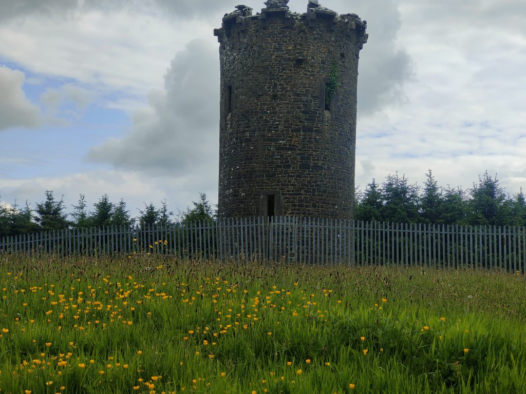
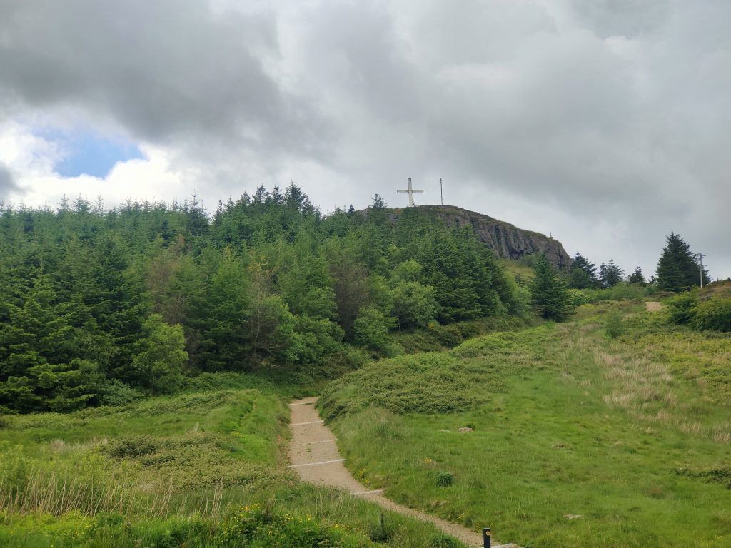
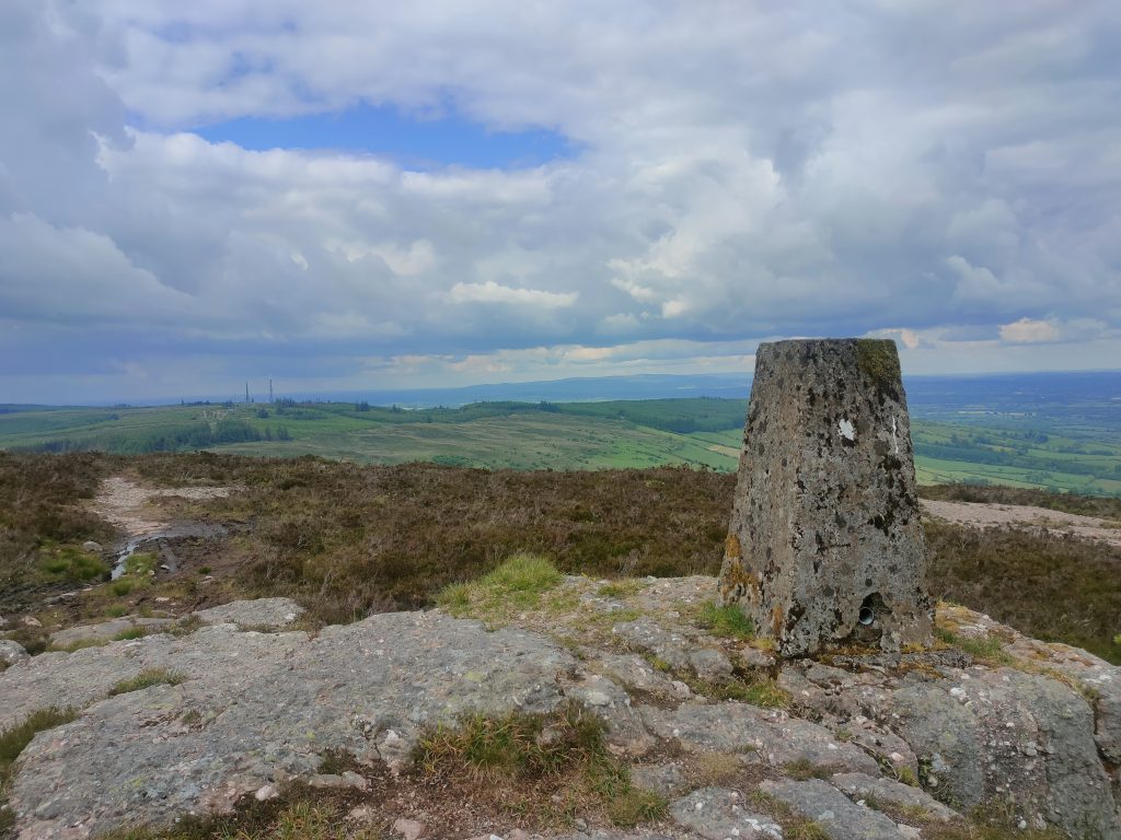
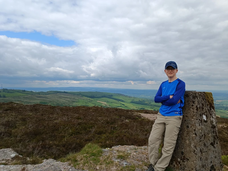
An old friend, Slievenamon, was next in line for conquering.
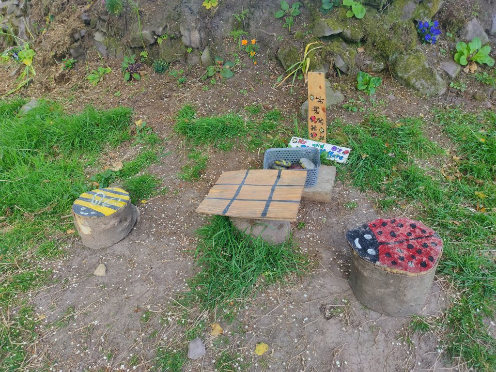
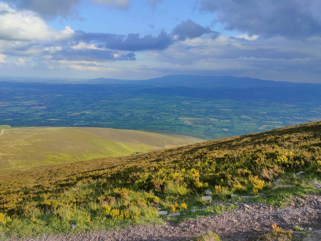
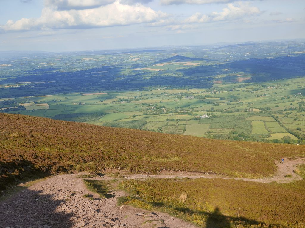
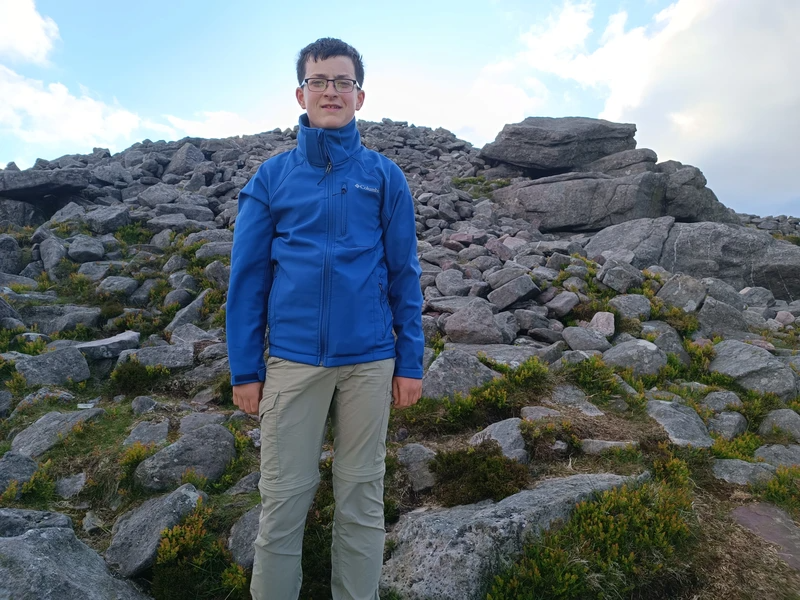
Last but not least, Carricktriss Gorse
