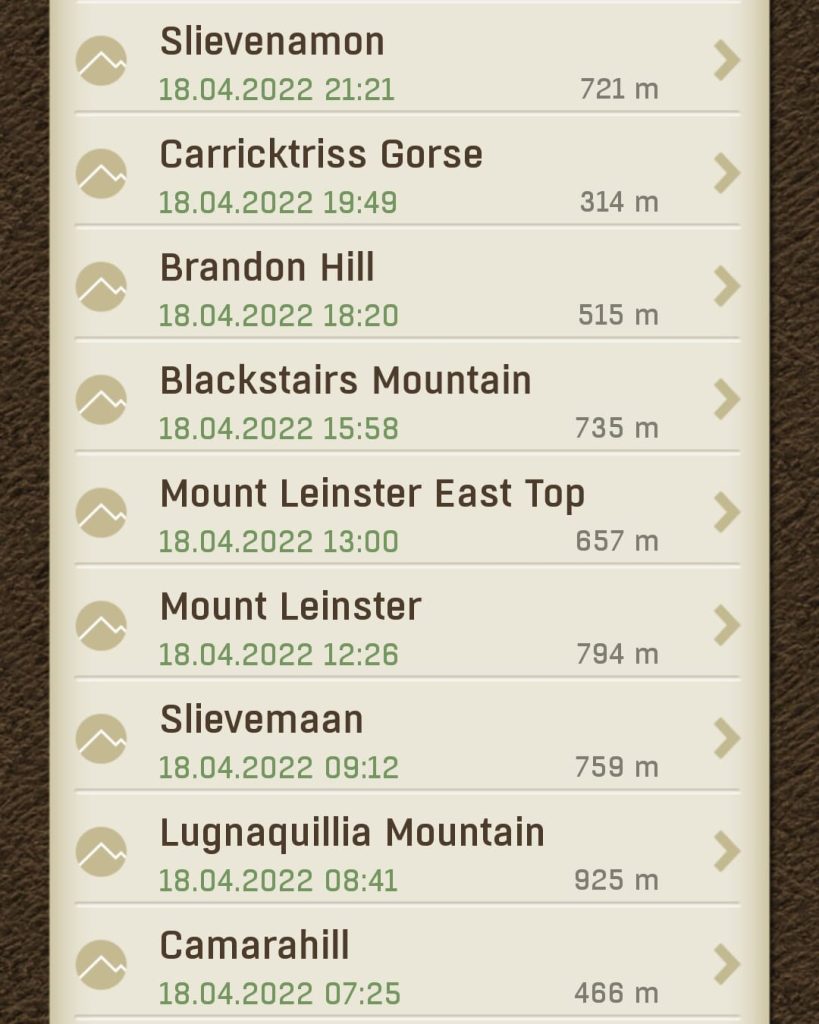
At 4:30, while most people were sleeping, Dad and I were in the car heading for Fenton’s Pub, the start point for our first climb of the day, Lugnaquillia. We had a list of 8 Sport Hillwalking Locations that we planned to work down as far as we could throughout the day. If we completed the whole list, we would earn 83 points for The All-Ireland Hillwalking Championships, so needless to say when we arrived at Fenton’s, we wasted no time setting off along the military road.
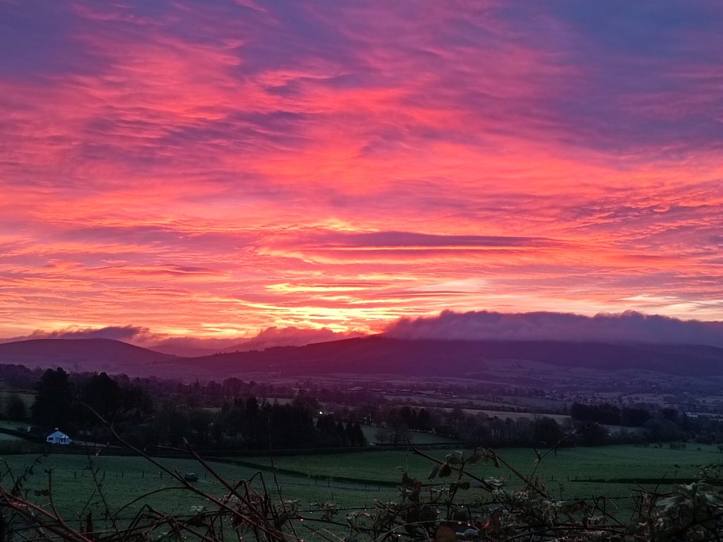
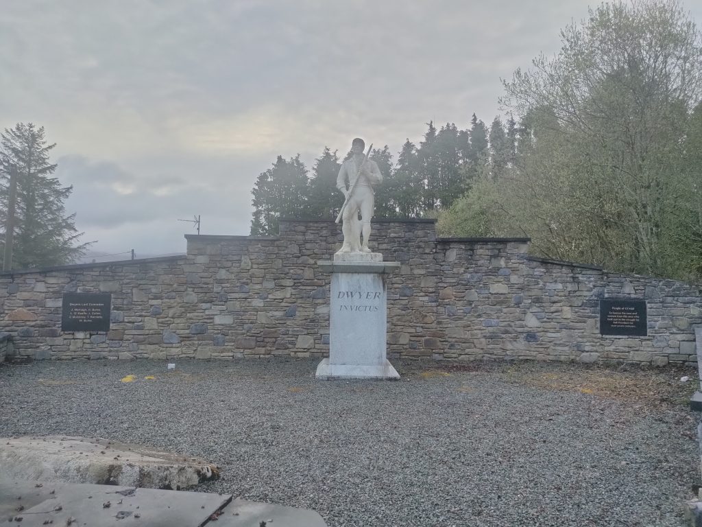
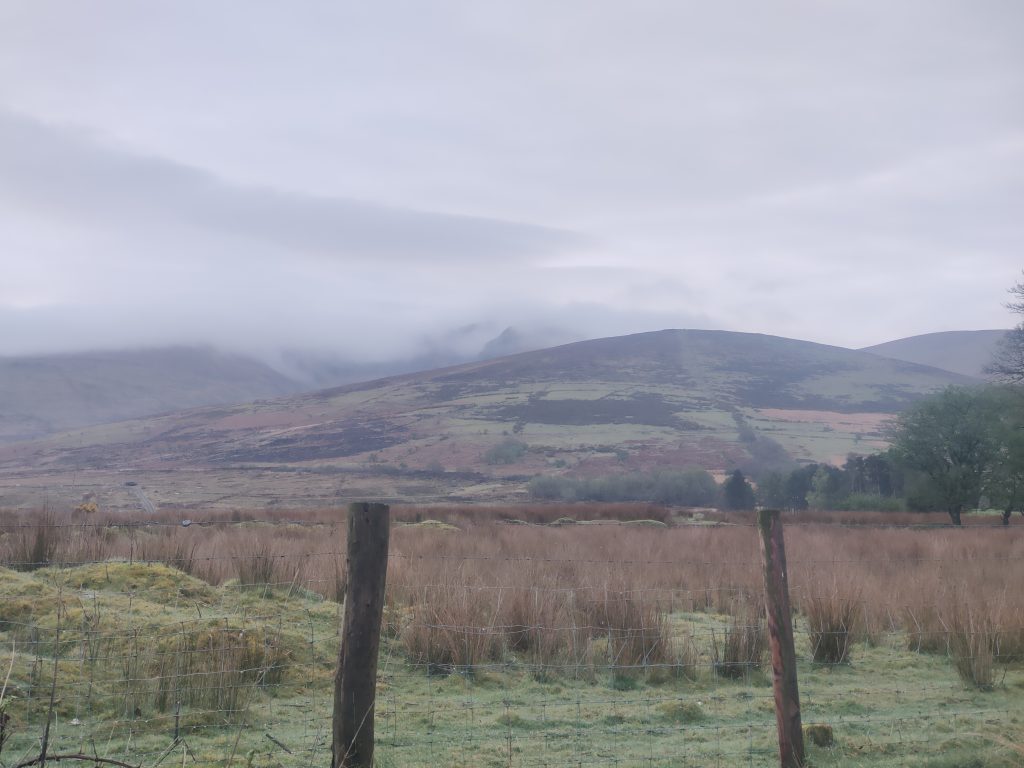
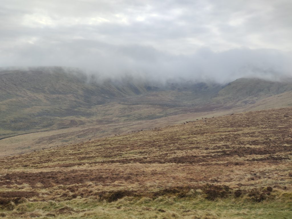
The real climbing began when we proceeded through a gate onto the open mountain, following a grassy path up Camara hill, which follows the edge of a military firing range. Many herds of Sika Deer passed by as we walked, however we didn’t delay because of our goal to log as many High Points as possible, but also because rain was forecasted for 11am and we wanted to be well down by then.
So, we climbed on, veering left when we reached the saddle between Lugnaquilla and Slievemaan. From there on, the climb was significantly steeper, but still quite manageable. The top was covered in some thick cloud, so we didn’t see any views. After logging on Peakhunter, we headed back down to the boggy saddle but instead of heading straight back down to Camara hill we went up the opposite side of the saddle to Slievemaan, which is worth an extra 8 points on top of the 19 we got from Lug.
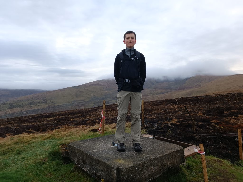
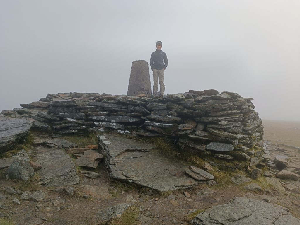
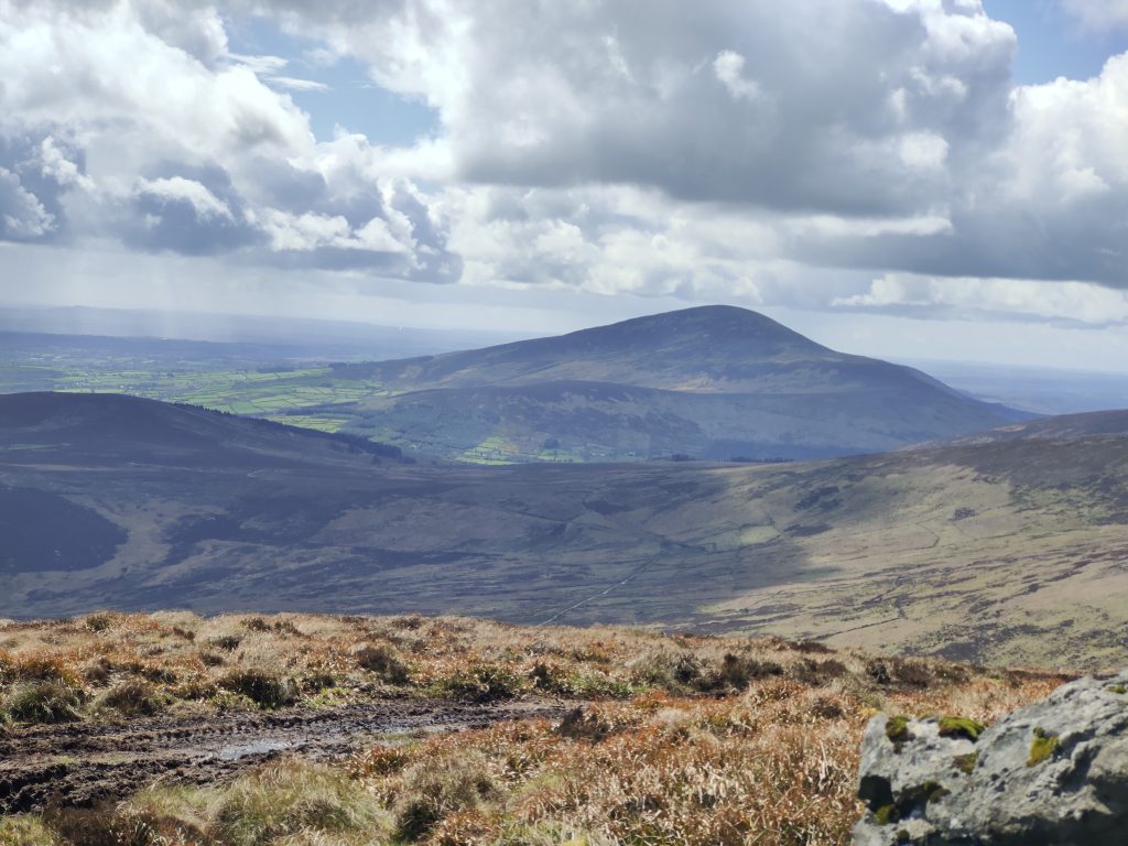
With a bit of twisting around some boggy ground we were soon logging the second from our list, Slievemaan and we quickly set a course to rejoin the route we came up earlier, with some nice views of Keadeen Mountain and Sugarloaf as we descended.
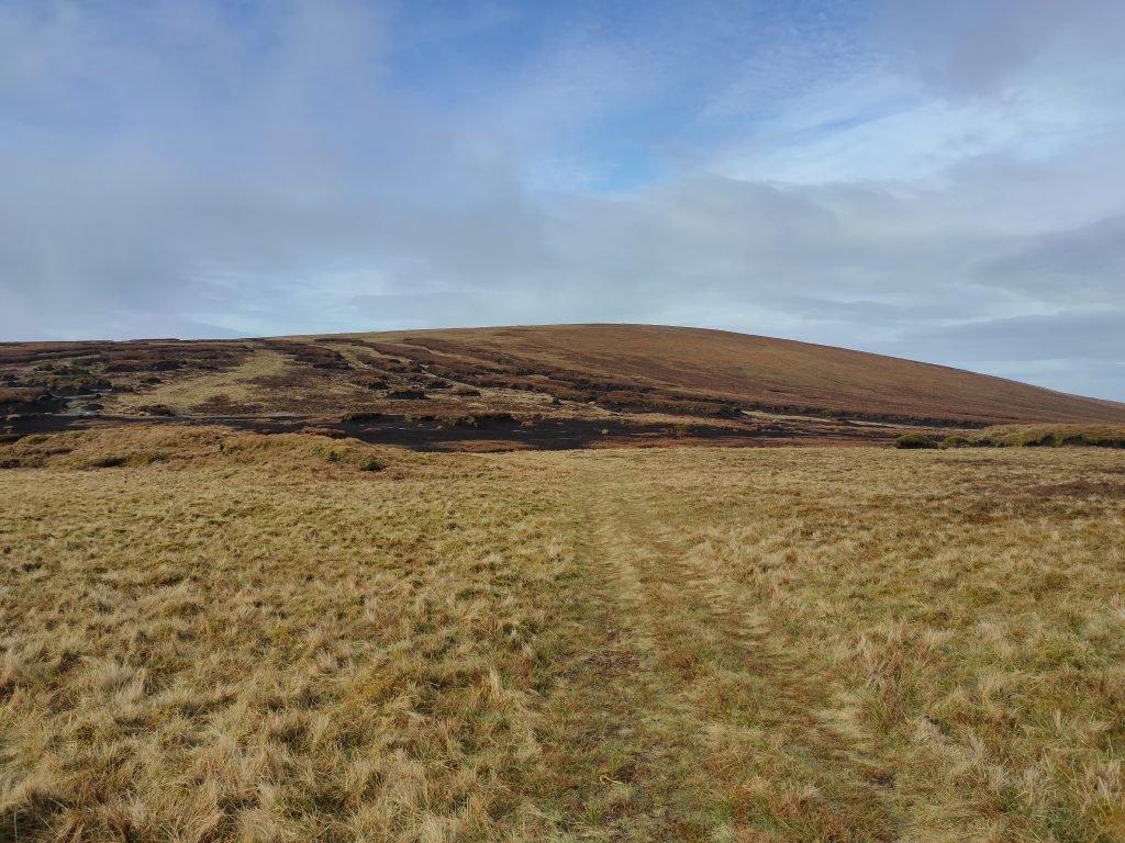
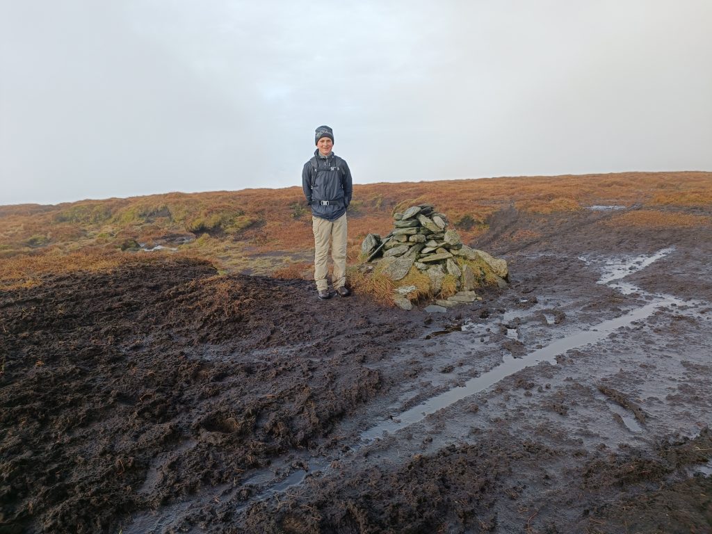
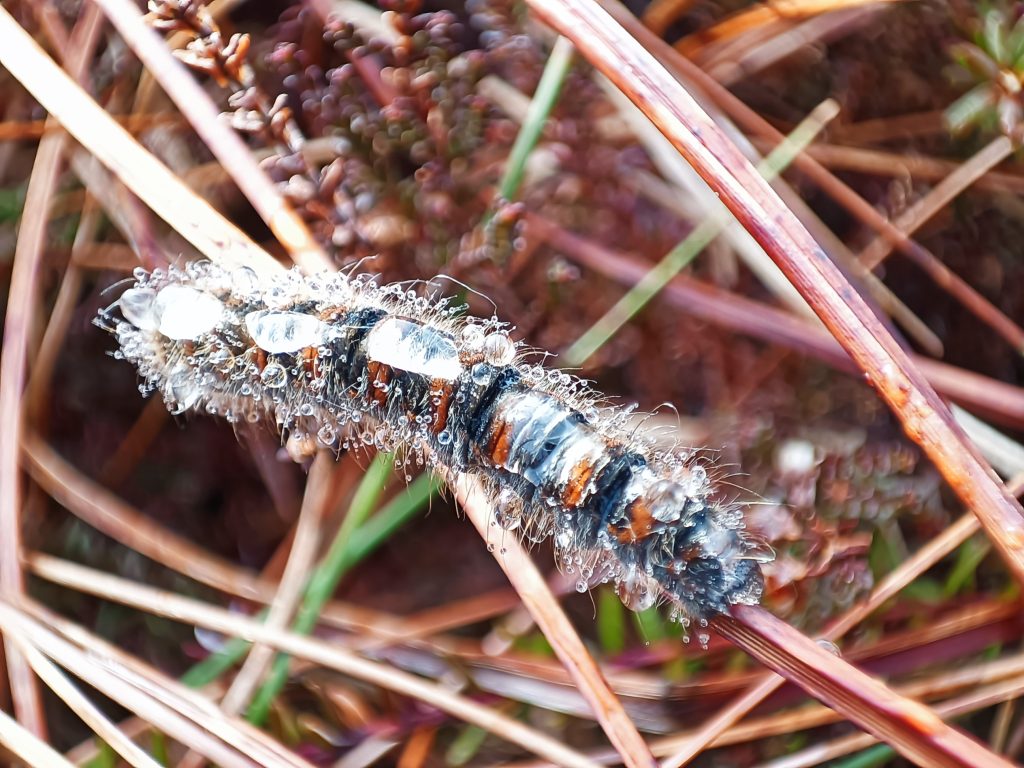
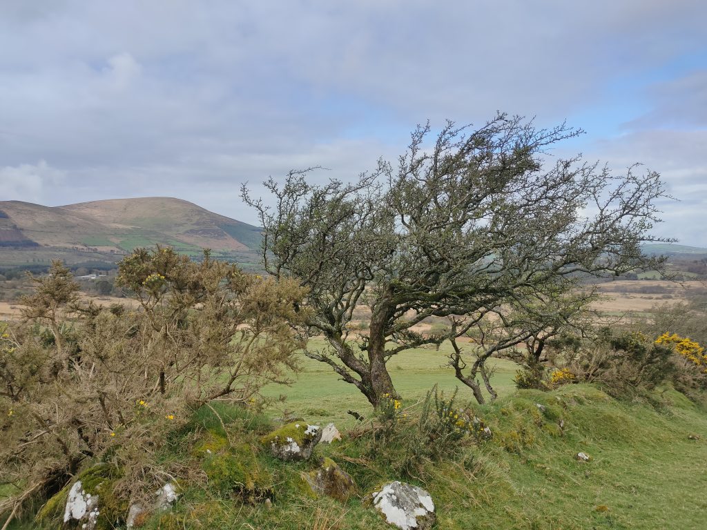
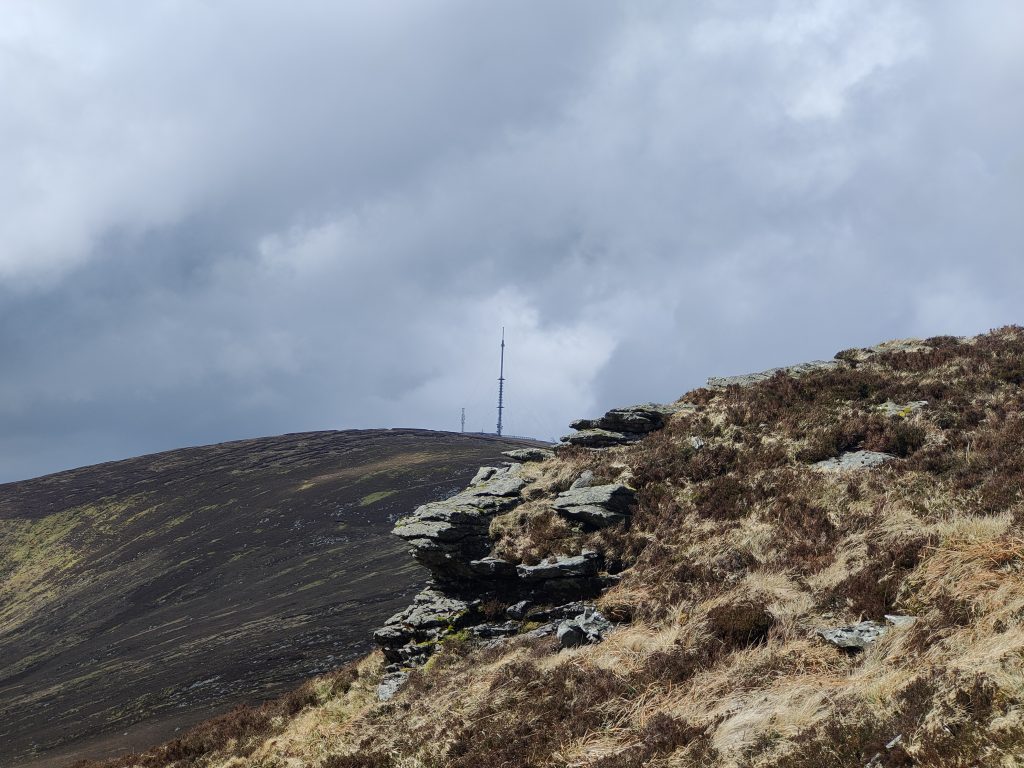
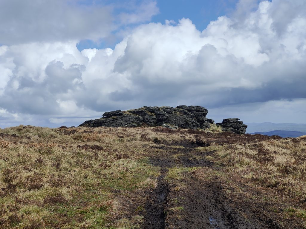
Next up on the list was Mount Leinster & Mount Leinster East Top. We parked up at The Nine Stones Car Park and headed up the tarmac road leading to the RTE Mast at the top of Mount Leinster. I decided to wear some old runners rather than boots for this one, thinking that they would be more comfortable for the tarmac road and naively assuming that Mount Leinster East Top would be a short walk from the top. I was surprised when I checked Peakhunter after logging Mount Leinster to find that the East Top was almost 2km away over heathery, boggy ground. We trudged on anyway and with a bit of care, I managed to keep my feet from getting completely soaked.
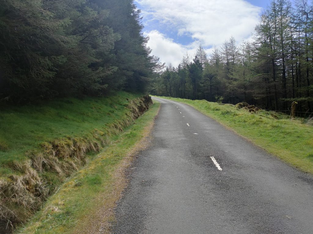
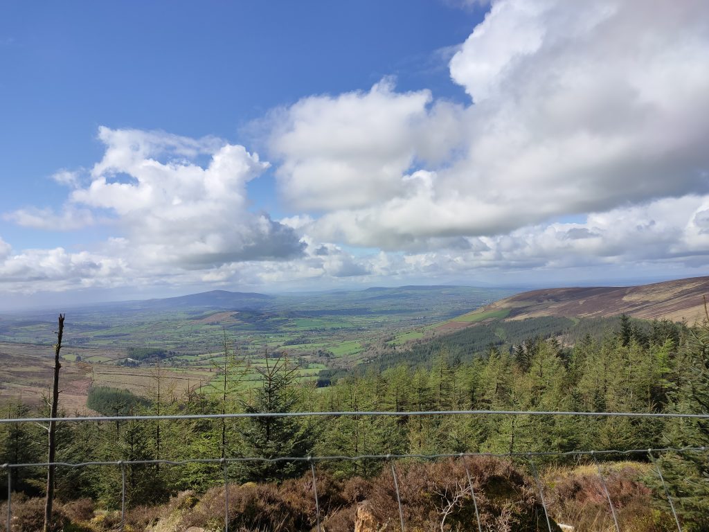
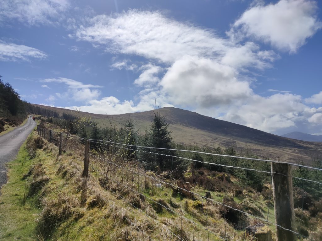
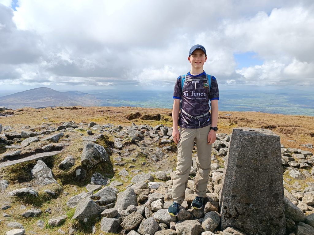
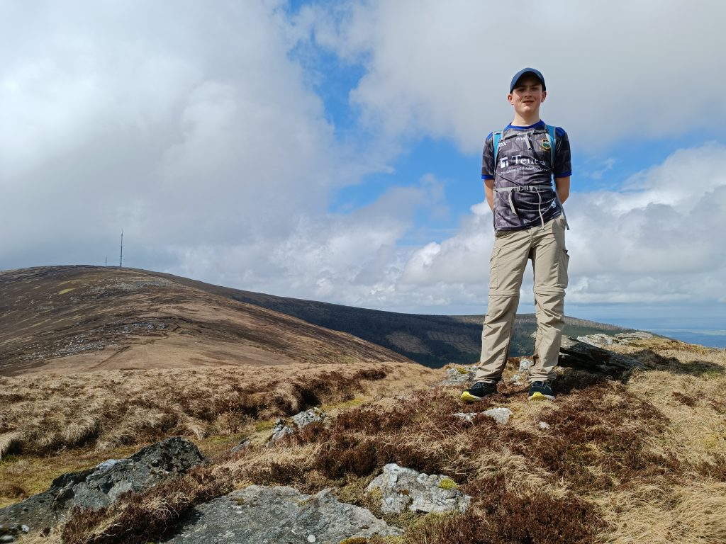
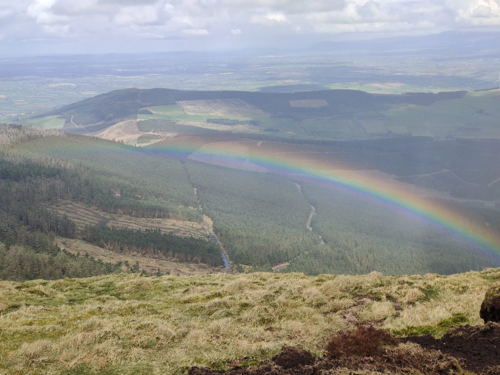
Rather than returning to the top of Mount Leinster, I skirted around the side of it to join the tarmac road. We got caught in a small shower on our way down, luckily it only lasted around 5 minutes. It did however reveal a spectacular rainbow for us to marvel at.
What makes The All-Ireland Hillwalking Championships even more interesting are the mountain challenges. These involve visiting all the Sport hillwalking locations in a specific range within 24 hours to earn double points. The Blackstairs Mountains Challenge only involves 3 Sport Hillwalking Locations; 2 Of which we had just completed! The only mountain left to complete to earn double points was Blackstairs, so naturally that was where we were headed for next!
The sun was shining down on us as we trekked up the enclosed singletrack which gives off a “magical” feel, and also leads up onto the open mountain. It is a straightforward hike from here, following the well worn (and sometimes mucky) singletrack to the top, which is marked by a cairn decorated with some colorful bunting, which reminded me of the prayer flags on Everest Base Camp. We were caught in a nasty shower at the top, which continued as we descended.
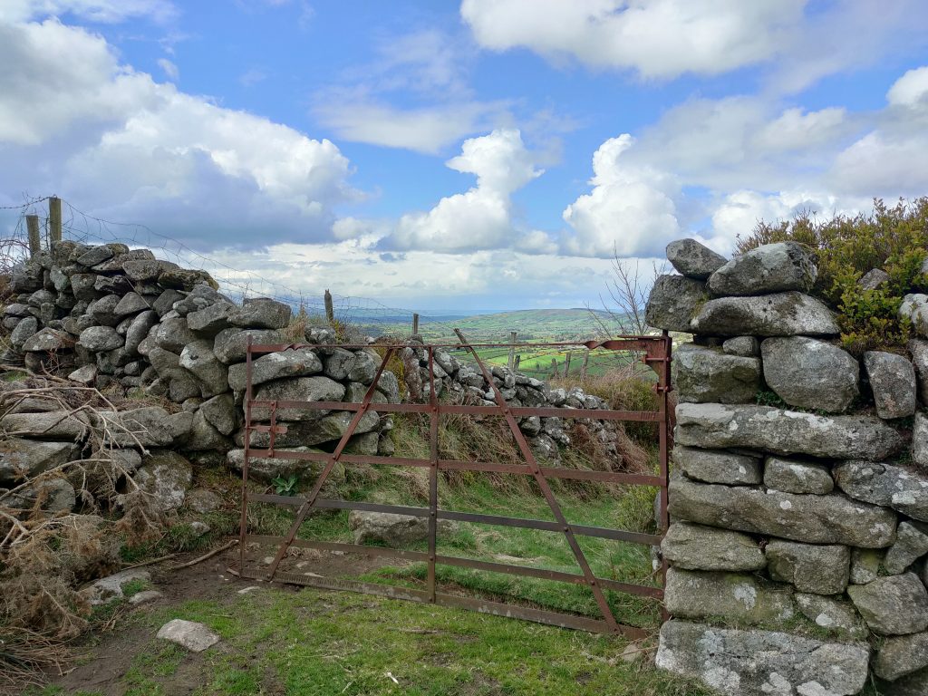
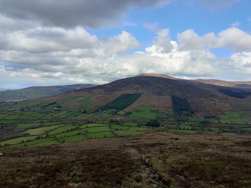
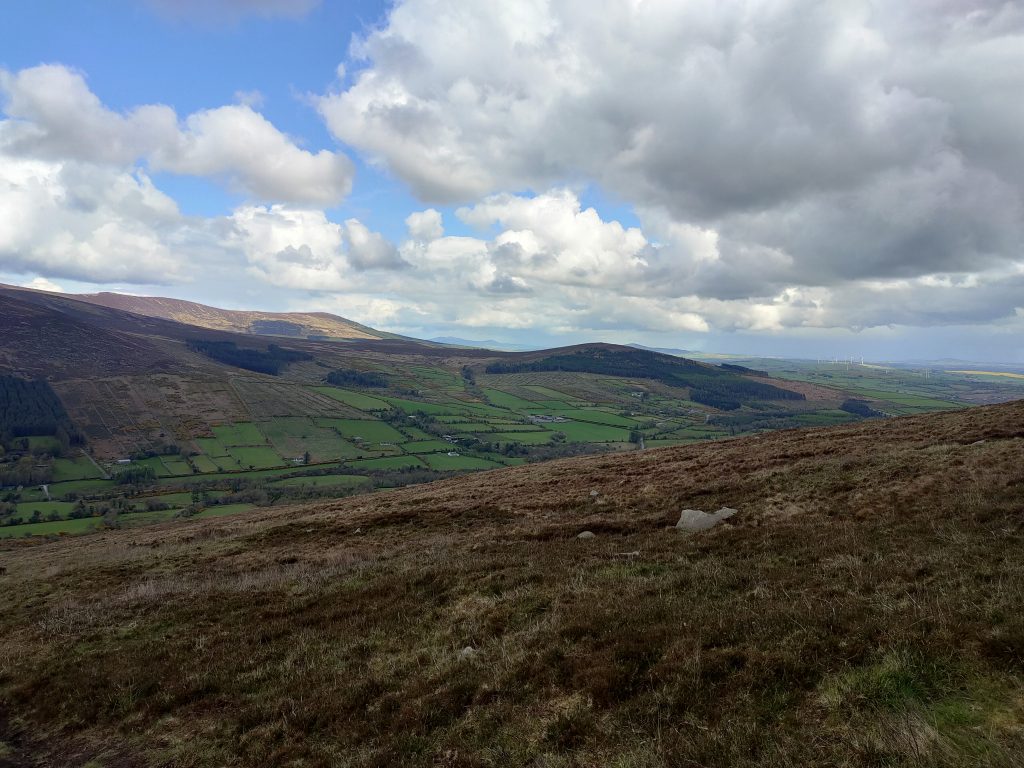
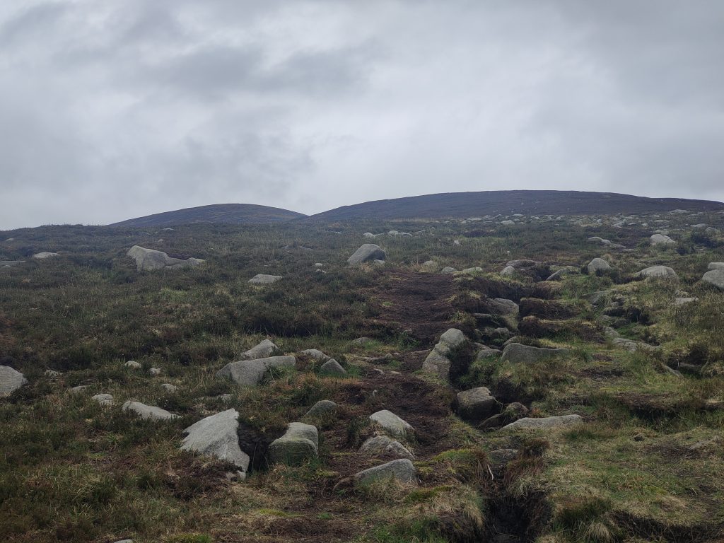
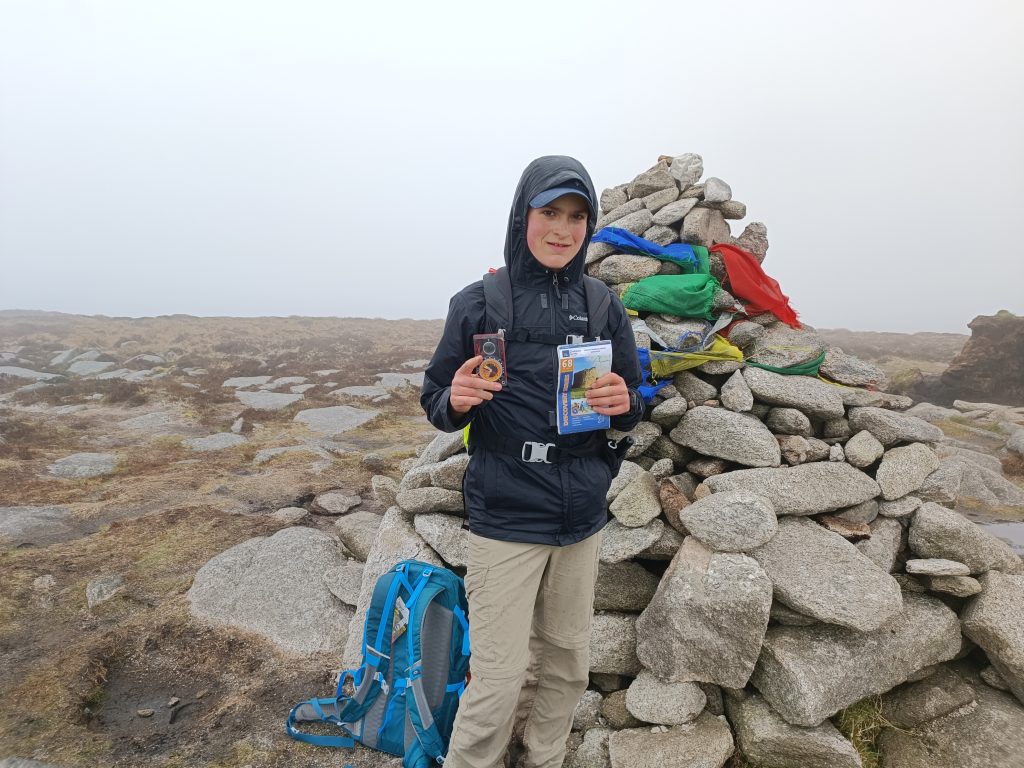
About halfway down we were glad to see the shower blow away once again revealing clear skies which remained with us for the remainder of the day. When we reached the car, we checked the time and realised it was only 4:30 in the evening so decided to try and tick off a few more while heading for home.
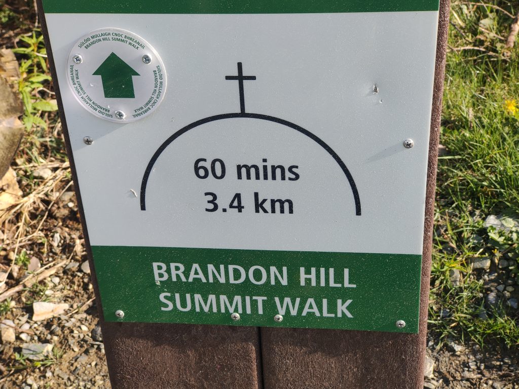
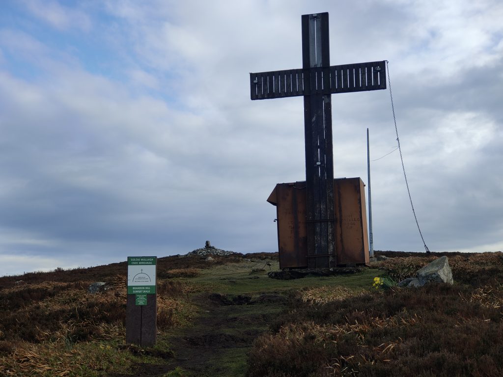
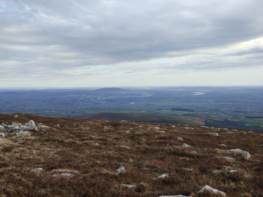
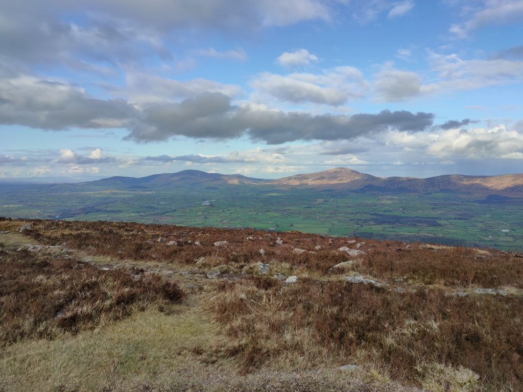
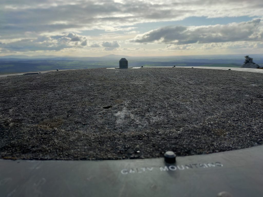
We slightly detoured first to Brandon Hill, the county high point of Kilkenny. Rather than taking our usual route to the top, we instead followed the new waymarked route just to give it a try. It turned out to be a bit longer so we didn’t wait around at the top and headed back down via our own more direct route to the car.
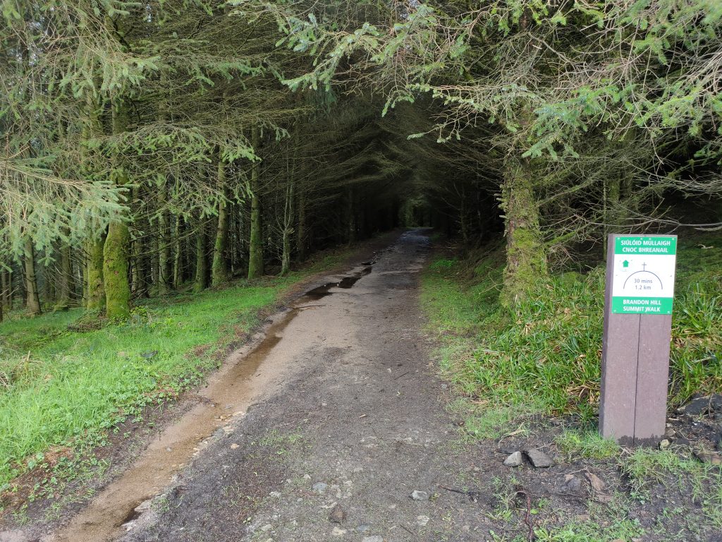
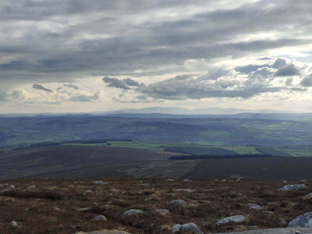
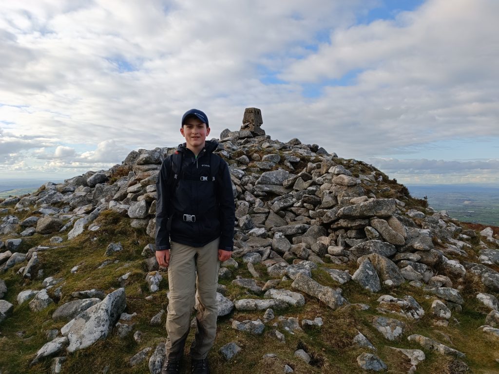
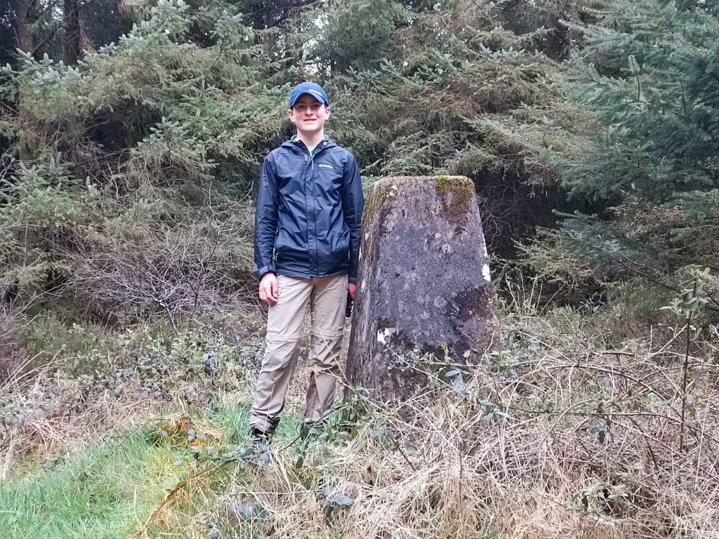
Our second last Sport Hillwalking Location of the day, Carricktriss Gorse, was up next. A 10 minute walk along a forestry road brought us to an entry point into the forest, where we hunted for the trig. We found this difficult to locate the first few times we were there, but I think we have the hang of it by now. The trees also don’t help by disrupting GPS signal. After logging, we headed back to the Car and drove over to Slievenamon.
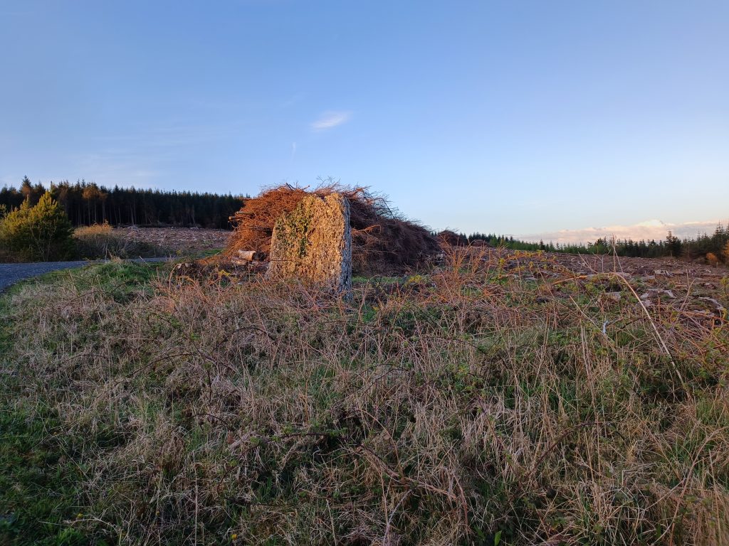
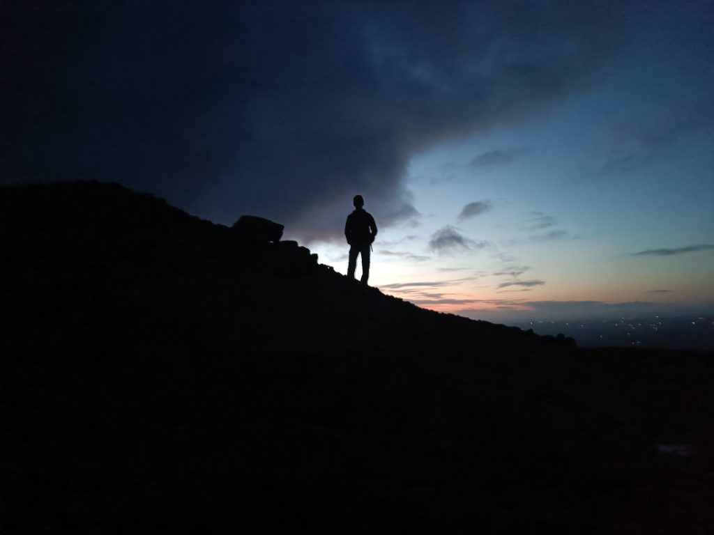
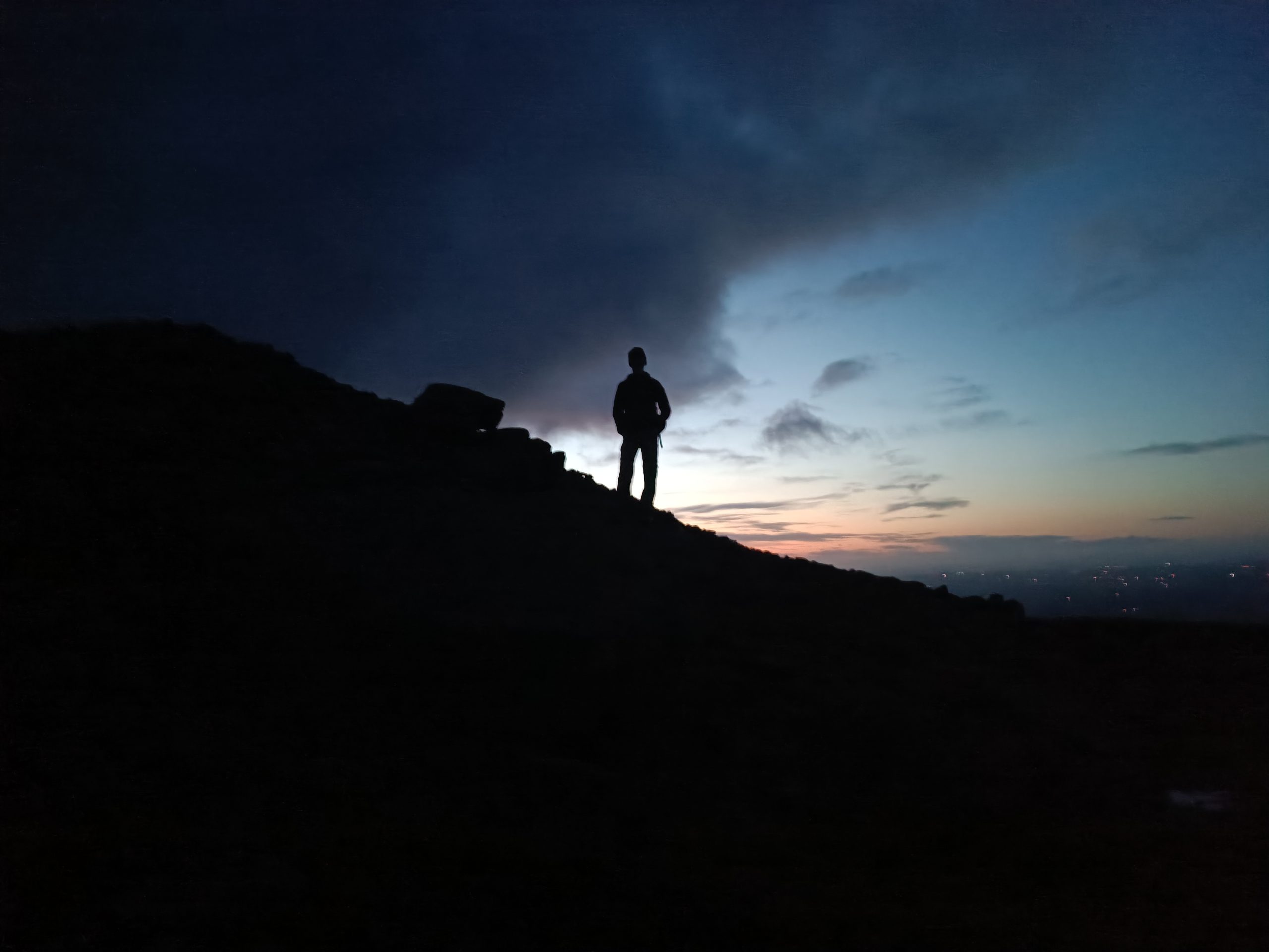
Darkness was setting in as we headed up our final mountain of the day. We followed the well worn track up, and logged it on Peakhunter, taking our picture against the beautiful dusk sky. We didn’t take our time on the way down as darkness was now well established and we were fairly peckish too, luckily Clonmel was close by where we filled our bellies with Chinese before driving home, very satisfied to have logged all 8 locations and banked the full 83 points.
